Latitude: 39.85°
Longitude: 320.82°
Click on images below for higher resolution
views
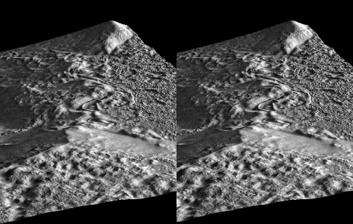
Stereo images were created from a 3-d
shape from shading terrain elevation model.
For best results this page should be viewed
with a monitor resolution of 1024x768 greater.
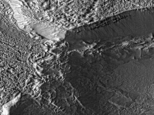
Goldmine area from raw data view
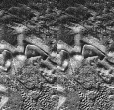
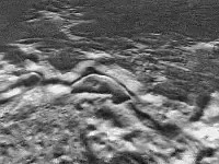
Stereo views of the pool area
To view these stereo images focus your left eye on the left image and your right eye on the right image. You will see a third, 3-d image in the center. Sometimes it helps to start by focusing your eyes on an object behind the monitor, then shifting your gaze to the image. Also, moving away from the monitor is helpful, especially when viewing the full resolution stereo images.
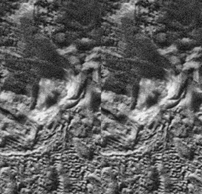
Another stereo view from the Northeast
Western flyover of Goldmine area (901 k mpeg)
VRML 2.0 world: Goldmine area (requires Cosmo plugin )
Images on these pages were processed
by Steve Wingate.
Copyright 1999, NASA and Steve
Wingate, all rights reserved.
You are visitor number since July 1, 1999.