Click to play midi
"Sonora"
Click
to play "Seance" by Jason Flaherty
Click to play "Astronomy"
by Pink Floyd
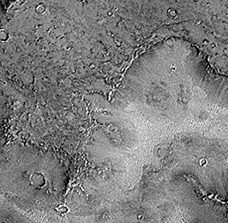
This amazing image shows what appears to be a partial 'stonehenge' arrangement of large upright boulders near a large valley formed by the erosion of water millions of years ago on Mars. This formation is located approximately 6 degrees S latitude, 357.5 W longitude. North is approximately toward the top of the image. This circular area lies on the edge of an ancient river. The natural barrier to the right of the standing formation may have protected the boulders from innundation by the otherwise destructive water that may have been moving to the right from this bend in the ancient river.
Note the alignment of the radial feature with the strange complex to the northwest, and also to the dark mark in the shallow area to the southeast. Could this be a landing approach beacon of some type, or an astronomical observatory?
One important question to answer is what direction was the ancient North on Mars before the catyclysm?
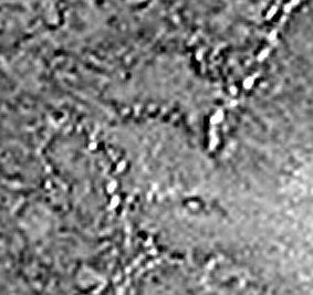
2X enlargement
This next image shows the central area more closely. The linear feature, as well as the unusual complex to the northeast and southwest, can be seen. Other boulders which may have been scattered by a large surge of water are nearby. Then there is the triangular feature at about 8:30...
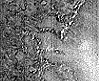
4X enlargement
Combination of first image and new full resolution
image processed from the raw image (2x)
More detail can be seen in the highly anomalous structures in this
area.
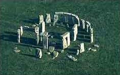
Stonehenge Today
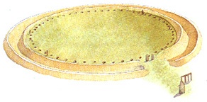
Early Stonehenge
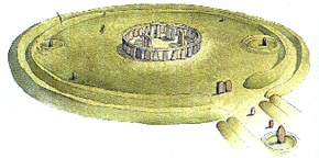
Later Stonehenge
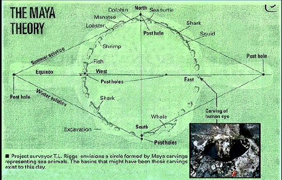
Miami Circle
RealAudio
File about Miami Circle on All Things Considered,
interviewing
Richard Hoagland (aka Hogan)
Miami Herald news story on Miami Circle
You are visitor number since February 8, 1999.