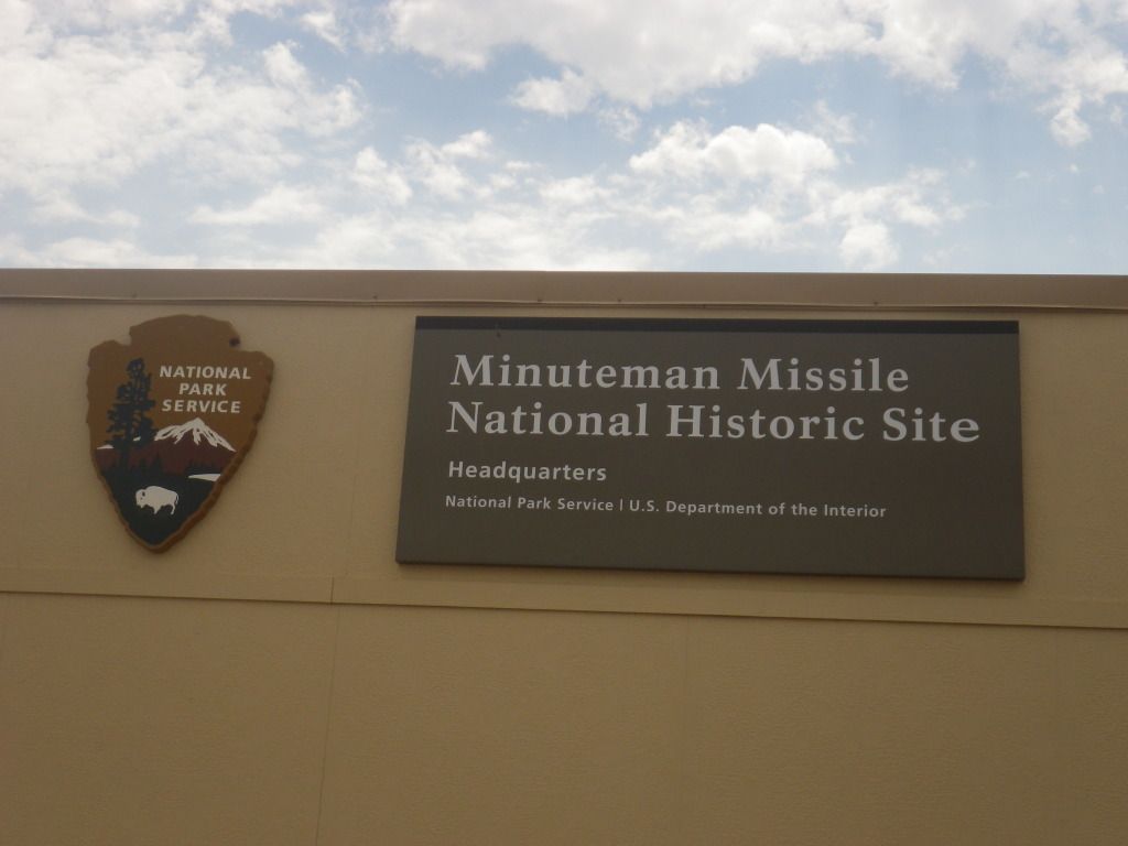
Back in March of this year
(2012) Gary and I were contemplating another road trip on the motorcycles
before the good riding season is over. We debated back and forth whether it
would be on the dirt bikes or the road bikes. We finally reached a
conclusion to ride the big bikes and the destination would be the Black
Hills. So we hashed out a week we could both go and the plans were set
forth. And of course we invited our dad but he just wasn’t up for that long
of a trip on his trike at the time.
 Now I know the first thought
that comes to mind for most of you when you hear the words
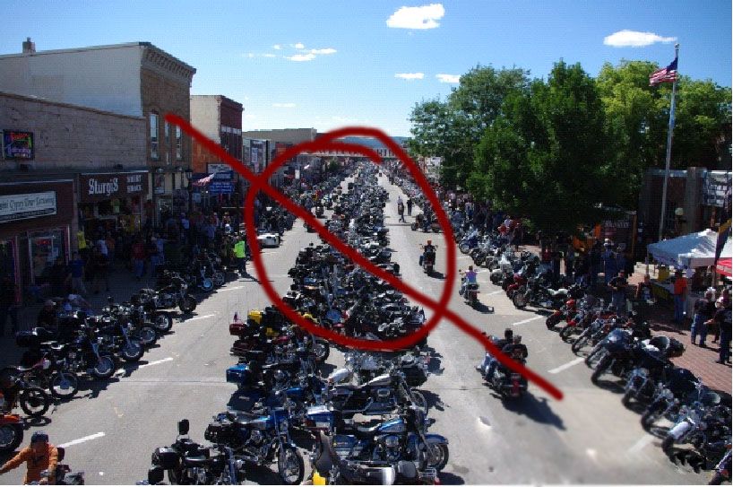
Black Hills
and Motorcycles in the same sentence is “Sturgis Bike Rally”.
Well, it was in our thoughts too but we were thinking just the opposite of
most folks. We absolutely did not want to go during Sturgis bike week. We
wanted to be able to enjoy our ride and see the sights, not get stuck behind
the traffic of hundreds of thousands of motorcycles and intoxicated folks.
So we scheduled our trip a couple of weeks after the Rally (Aug. 17th
through Aug. 25th). Besides not having to fight the huge crowd,
another advantage for going after the Rally is because the lodging in the
surrounding areas are nearly half the price they are during rally week. Now
if the Sturgis Bike Rally seems like your kind of thing, by all means go for
it. I’m sure it’ll be an experience you’ll remember.
Now I know the first thought
that comes to mind for most of you when you hear the words
Black Hills
and Motorcycles in the same sentence is “Sturgis Bike Rally”.
Well, it was in our thoughts too but we were thinking just the opposite of
most folks. We absolutely did not want to go during Sturgis bike week. We
wanted to be able to enjoy our ride and see the sights, not get stuck behind
the traffic of hundreds of thousands of motorcycles and intoxicated folks.
So we scheduled our trip a couple of weeks after the Rally (Aug. 17th
through Aug. 25th). Besides not having to fight the huge crowd,
another advantage for going after the Rally is because the lodging in the
surrounding areas are nearly half the price they are during rally week. Now
if the Sturgis Bike Rally seems like your kind of thing, by all means go for
it. I’m sure it’ll be an experience you’ll remember.
 The
only portion of the planning I did immediately was make reservations for
lodging. We wanted to find a place to stay that would locate us in the
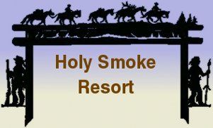
center of our planned riding range. I found a nice little cabin in Keystone,
SD at a place called "Holly
Smoke Resort". They had exactly what someone traveling on a motorcycle
needs to stay in comfort, a bed (x2, one for each of us), bathroom w/shower,
heating, air-conditioning, refrigerator, microwave, coffee maker, TV and
most importantly a roof over you head.
The
only portion of the planning I did immediately was make reservations for
lodging. We wanted to find a place to stay that would locate us in the
center of our planned riding range. I found a nice little cabin in Keystone,
SD at a place called "Holly
Smoke Resort". They had exactly what someone traveling on a motorcycle
needs to stay in comfort, a bed (x2, one for each of us), bathroom w/shower,
heating, air-conditioning, refrigerator, microwave, coffee maker, TV and
most importantly a roof over you head.
After the lodging
reservations were complete, I pretty much parked the thought of the trip in
the back of my mind and lived life as normal for the next few months. It
wasn’t until July that I started thinking about what we wanted to do. The
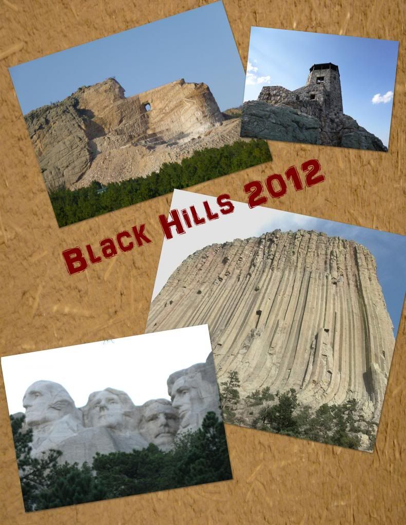
big bullet items were Mt.
Rushmore
, Crazy Horse, Devil’s Tower,
Harney Peak, Custer
Park
, The
Badlands and maybe even Sturgis just to say we’ve been there. This is where
Google Maps and/or a Garmin Map Set are you best friends. I started building
routes for the GPS that would lead us to our destinations for each day of
the trip. Then I developed a simple itinerary for the trip as following:
2012 Black
Hills Trip Itinerary
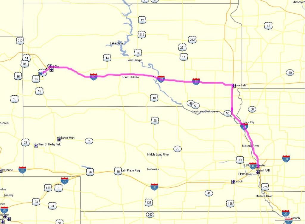
Aug. 17th Friday
Travel from home to Omaha,
Nebraska (hotel for the night)
Aug. 18th Saturday
Travel from Omaha to Keystone (Holy Smoke Resort check-in)
Aug. 19th Sunday
Relax, hang out in Rapid City, Mt. Rushmore
Aug. 20th Monday
Ride Devil’s Tower Loop
Aug. 21st Tuesday
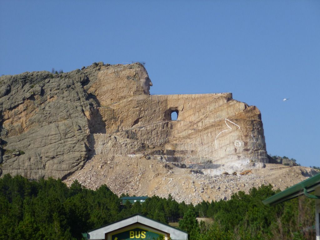
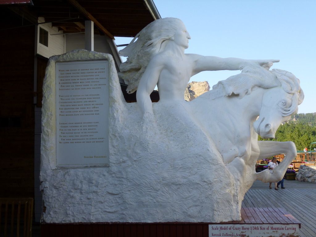
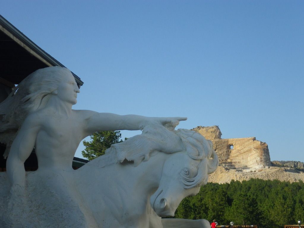
Ride Custer Park Loop, Crazy Horse
Aug. 22nd Wednesday
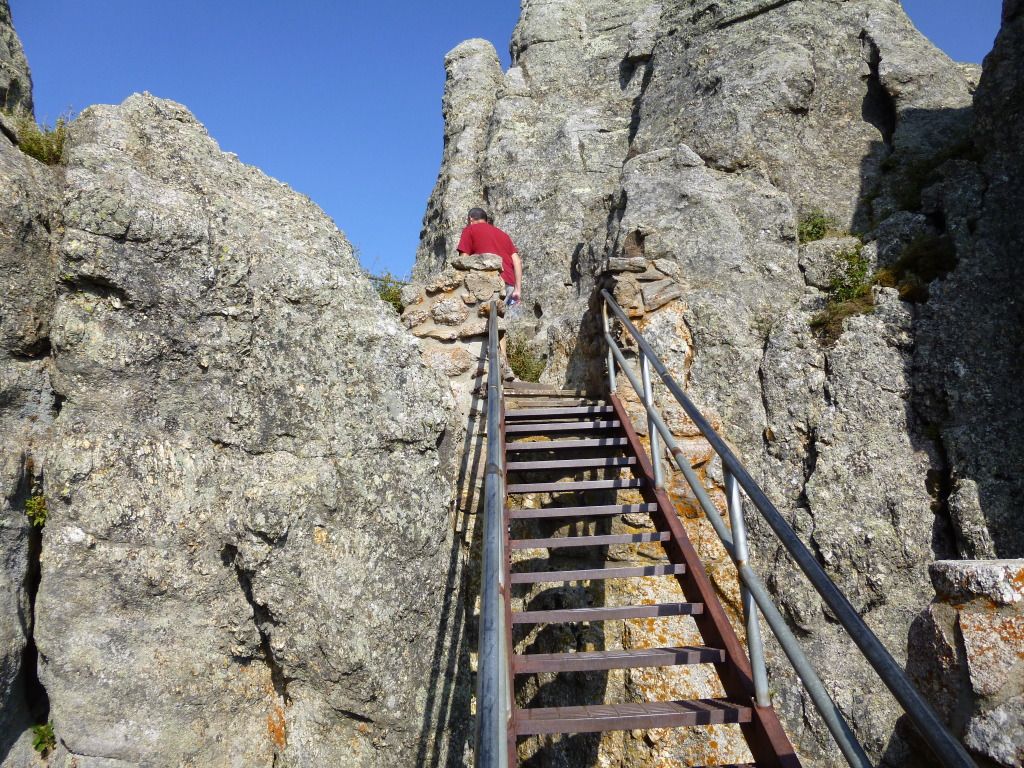
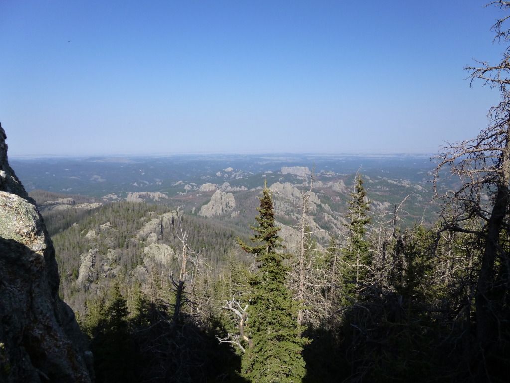
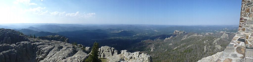
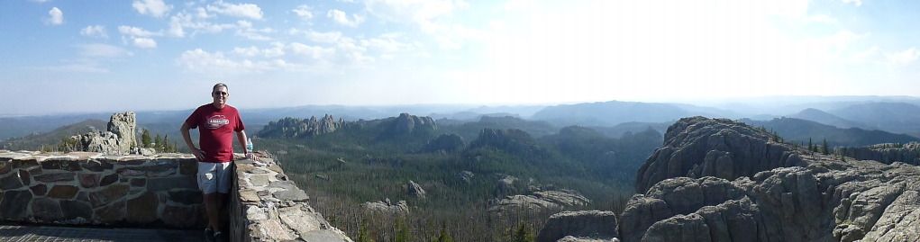
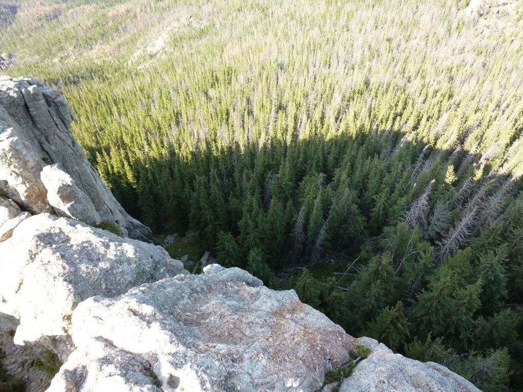
Harney Peak, 7 mile hike (highest point in SD)
Aug. 23rd Thursday
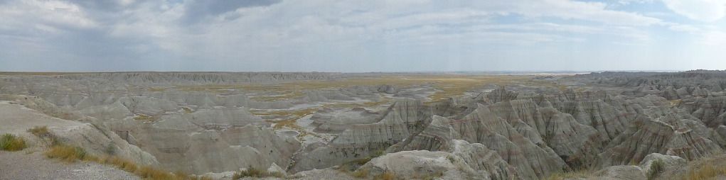
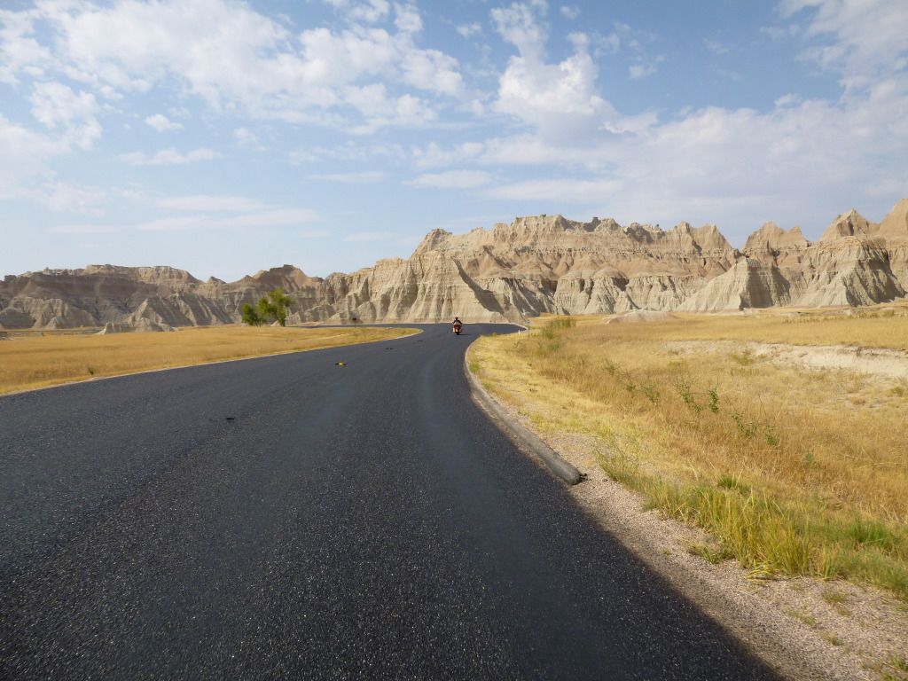
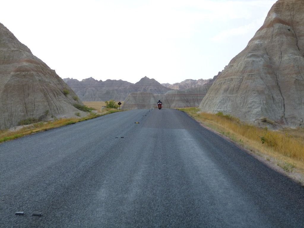
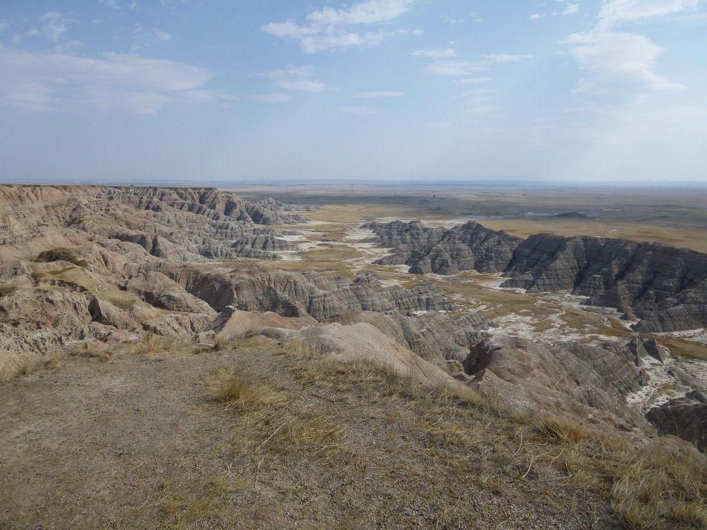
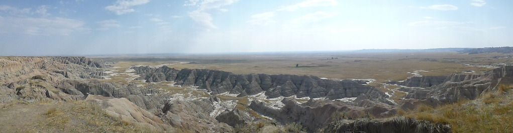
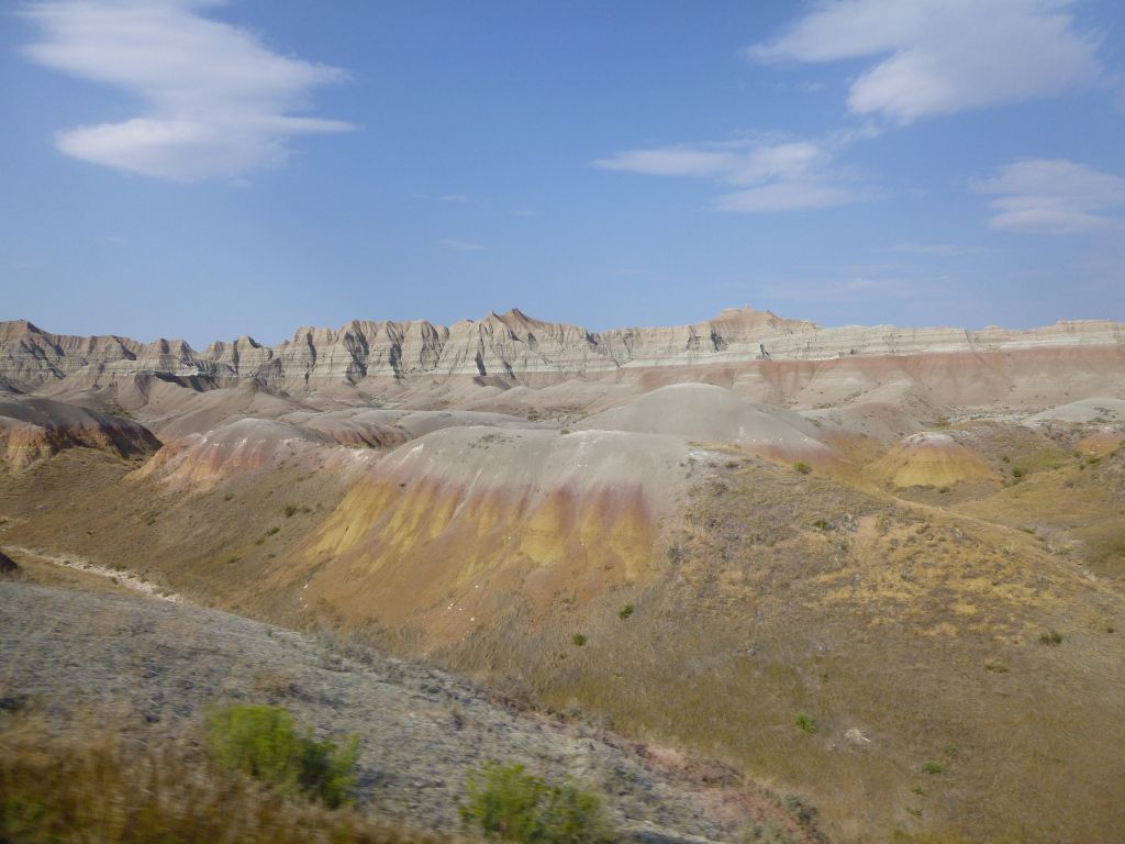
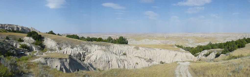
Ride Badlands Loop
Aug. 24th Friday
Travel from Keystone to Omaha (hotel for night)
Aug. 25th Saturday
Travel from Omaha to home
Yea I
know…it seems a bit anal to create an actual itinerary. But I’ve learned
over the years of traveling that even a minimal thought-out plan can help
keep you on track and achieve your goals. And your itinerary doesn’t have to
be set in stone, it can be adjusted as needed throughout the trip. If you
have a smart phone and a Google account (free), you can create this
itinerary in Google Docs and save it on your Google Drive. Then you can
access it at any time from you smart phone as I did, or save it directly to
your phone (no paperwork to carry or loose).
So the
itinerary is set, GPS routes are compete, the motorcycle is serviced and
reservations have been confirmed. All that’s left to do at this point is to
wait for the few weeks ahead so we can start a new journey. Then only two
days away from leaving I realize “Oh crap! I need to pack”. But this wasn’t
really a problem for me because I have a packing list specifically for
motorcycle trips with the V-Star on Google Drive. Yep…I guess I really am a
bit anal about lists after all. I have a packing list specifically for the
KLX too. But hey, they sure make life easier.
I get the motorcycle all packed up and ready to go. Then the night
before leaving approaches and I lay awake in bed wondering if anything was
forgotten (even though I do have a list), or if there’s anything that
needs to be taken care of before leaving. But I managed to get past this and
eventually fall asleep. Then the alarm clock started crowing (literally)
and I get out of bed and get prepped to hit the road…
DAY 1

I call
Gary to see if he’s ready and he tells me he’s running a little late. No
worries, I’ll go fill up my motorcycle with fuel and meet him at his house.
But as soon as I start the motor I realize that the external power to my GPS
has failed. This is not what you want to experience at the start of a 3000+
mile trip. But it’s a minor issue that can be easily fixed or worked around.
After a quick check I found the fuse for it had blown. I go fill up with
fuel and cruise over to a local parts store to get a replacement fuse but
unfortunately they were out of the type I needed. Meet up with Gary in town
only to realize I had forgot my sheep skin cover for my seat (yea…even
with a list). As for me having so many lists, I’m sure feeling
unorganized at this point.
I ride back to the house
to get my seat cover and Gary rides back to his house to get me a
replacement fuse. We meet back up in town again. I install the new fuse and
all is good with the GPS power cable. Now we’re ready to leave for real this
time.
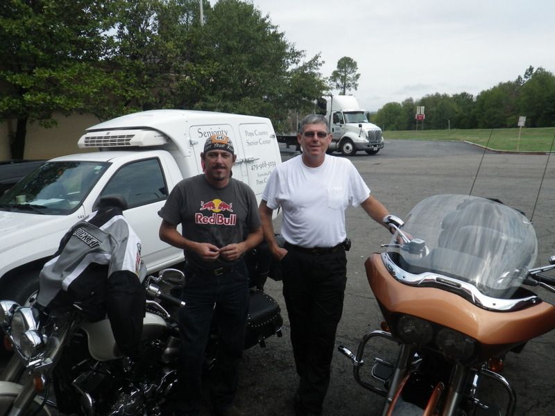
As we were gearing up to
leave we see our friend Allen that we work with. We chat about where we're
going and he informs us that he is good friends with the owner (Mike
Ballard) of
Full Throttle Saloon in Sturgis. He requested that we stop by there
during our trip and tell Mike hello for him. So Sturgis is definitely in the
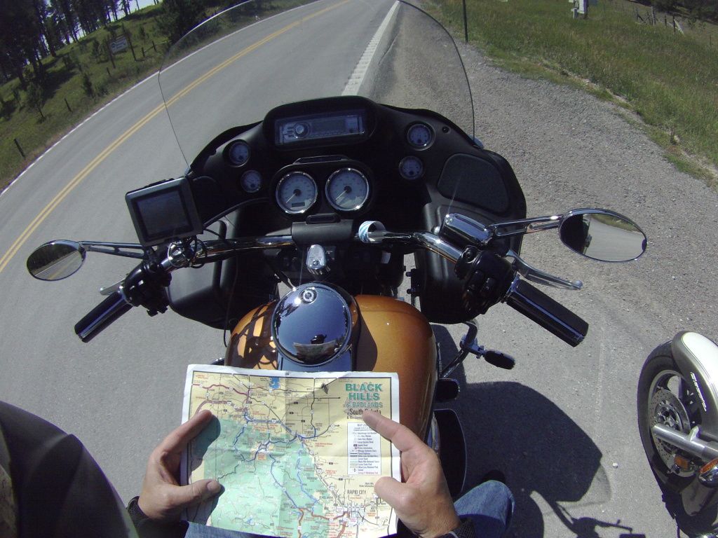
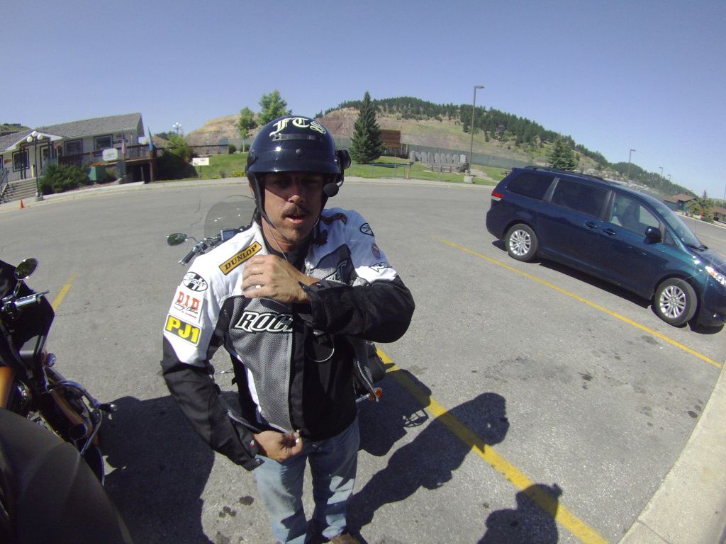
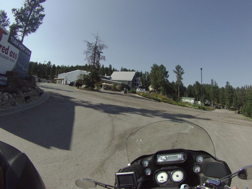
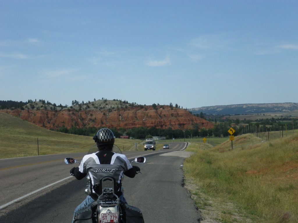
itinerary. Just before leaving we get Allen to take a picture of us. This is
the first picture of the trip just before getting on Interstate I-40.
Me on the
left, Gary on the right.
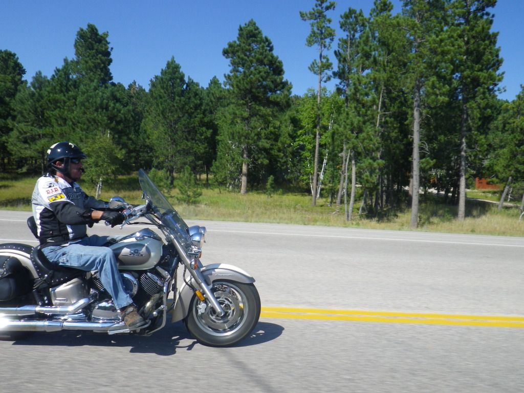
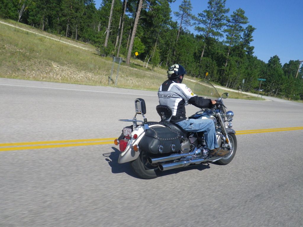
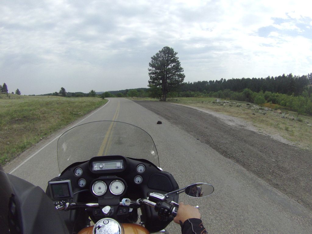
The rest of the day was just riding down the
highway heading to Omaha, nothing really exciting to see or worthy of a
picture. We did stop at a Cycle Gear outlet in Kansas City because I was
looking for better rain gear than what I had at the time but they didn't
have anything I liked. so we road a little further north to Smithville, MO
to a place called Motorcyclecloseouts.com. I found some rain gear I liked
there and at a very reasonable price.
While in Smithville we
found some lunch then proceeded on to Omaha. Once we arrived in Omaha we
stopped at one of the many hotels that were shown on the GPS but
unfortunately there were no vacancies. And the nice girl behind the counter
informed us that we probably wouldn’t be able the find any vacancies in
Omaha (yea I know…should have made reservations). Unknown to us there
was a Creed concert as well as a couple of big college events in town. So we
continued to ride I-29 north of Omaha to a town called Missouri Valley and
found a hotel for the night.
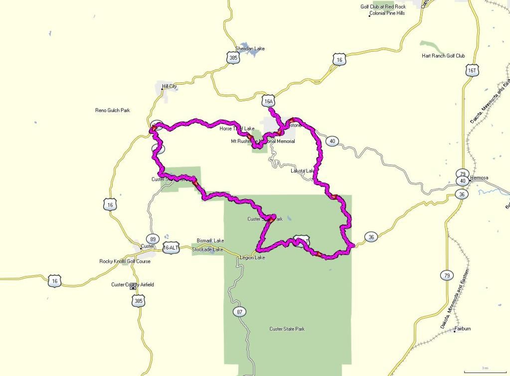
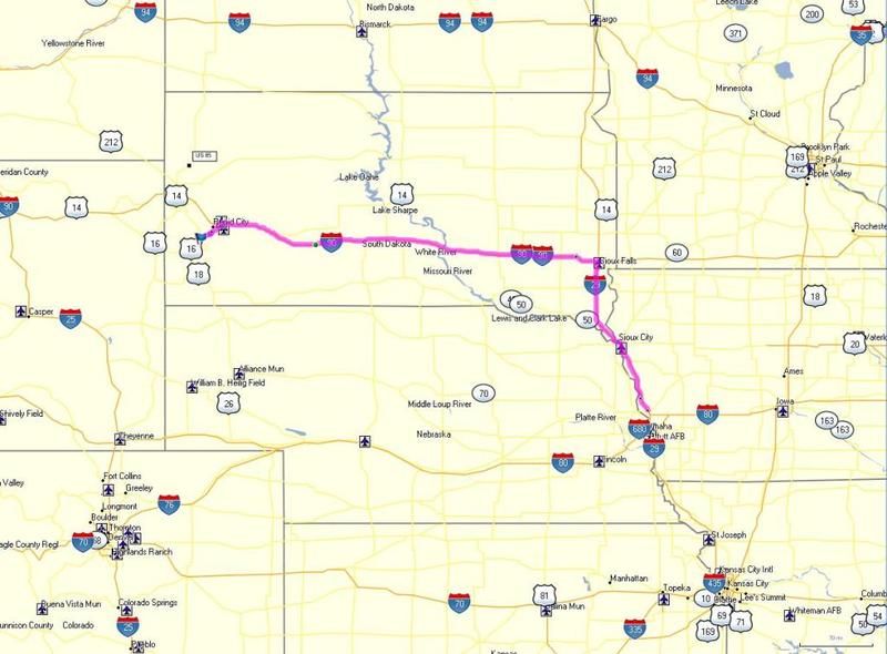
Our route for Day 1 (639 miles)

DAY 2
We wake up about 9:00
this morning and start loading the motorcycles. When I walk outside I
noticed the skies were looking dreary and it appeared rain was imminent. I’m
sure glad I purchased good rain gear the day before. I take a quick look on
the weather channel app on my phone but it doesn’t indicate a huge chance of
rain just yet. We both decide to hold off on the rain gear for now and just
chug on down the road. We probably didn’t make it twenty miles and the rain
started. So much for the weather channel (it’s not an exact science ya
know). We pull over and quickly don our rain gear.
On the road again, we
continue in the rain and stop in Sioux City and get a quick breakfast at
McDonald’s (breakfast of champions). Then we’re on the road again and
in the rain. Not long after we’re on the road I noticed that my external
power cable for the GPS had failed once again. I didn’t have an extra fuse
so I just turned it off. I didn’t really need at this point anyway. It was a
strait shot to Sioux Falls and then due west to Rapid City. Then finally, on
the north side of Sioux Falls, it stopped raining and we shed our rain gear.
Then it was beautiful weather and great riding.
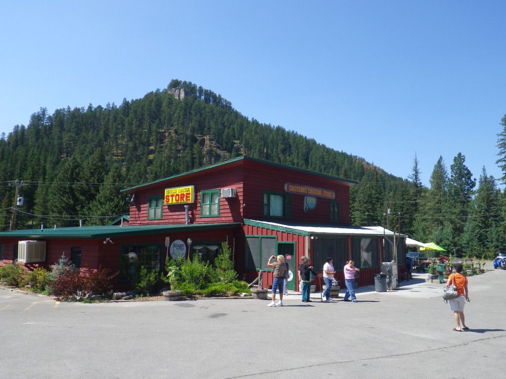
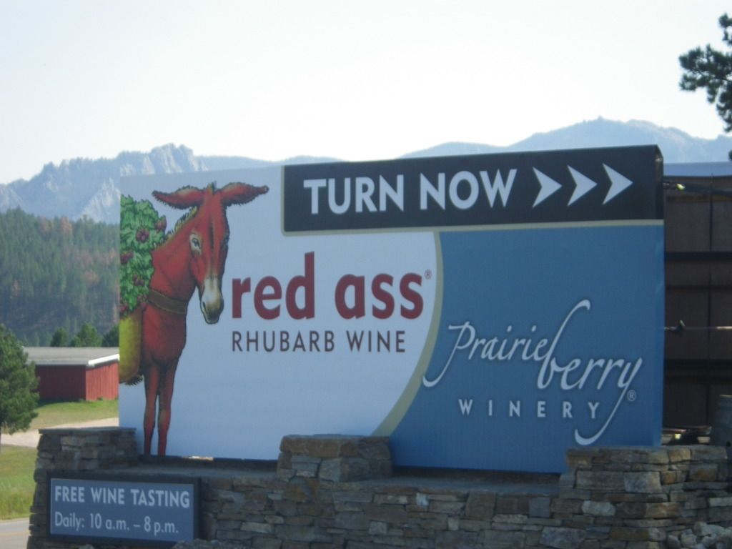
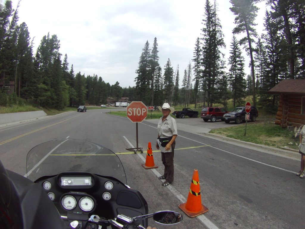
Since the time we had
crossed into Missouri, we noticed copious amount of road side signs that
said Wall Drugs. “What the heck is Wall Drugs?” I asked Gary over the
intercom. He responds “Oh, I was told that’s a place we must stop at on the
way”. From all of signs that we passed along the way I imagined it must be
someplace spectacular. So we stopped to fill up with gas and looked around
just for a bit but we didn’t spend much time because we wanted to make it to
our cabin before dark. We decided to fit Wall Drugs in when we ride the
Badlands.
We continue cruising
down the road and finally make it to our destination for the day, Holy Smoke
Resort in Keystone, SD just as it was getting dark. We were greeted at the
front desk by the manager and she gets us checked in. I noticed the
restaurant off to the side and asked if it was still open. She replies yes
and said the restaurant was famous for their BBQ Ribs. She was right, those
ribs were excellent tasting, and the meat just fell off of the bone.
With our bellies full
we find our cabin for the week, unpack the bikes, give thanks to God for
getting us here safely and chilled out a bit before calling it a day.
Our Route for Day 2 (519 miles)
DAY 3
We slept in to about
9:00 AM today knowing it was going to be a rest day except going to Mt.
Rushmore late afternoon. After getting up and about I walked outside to get a
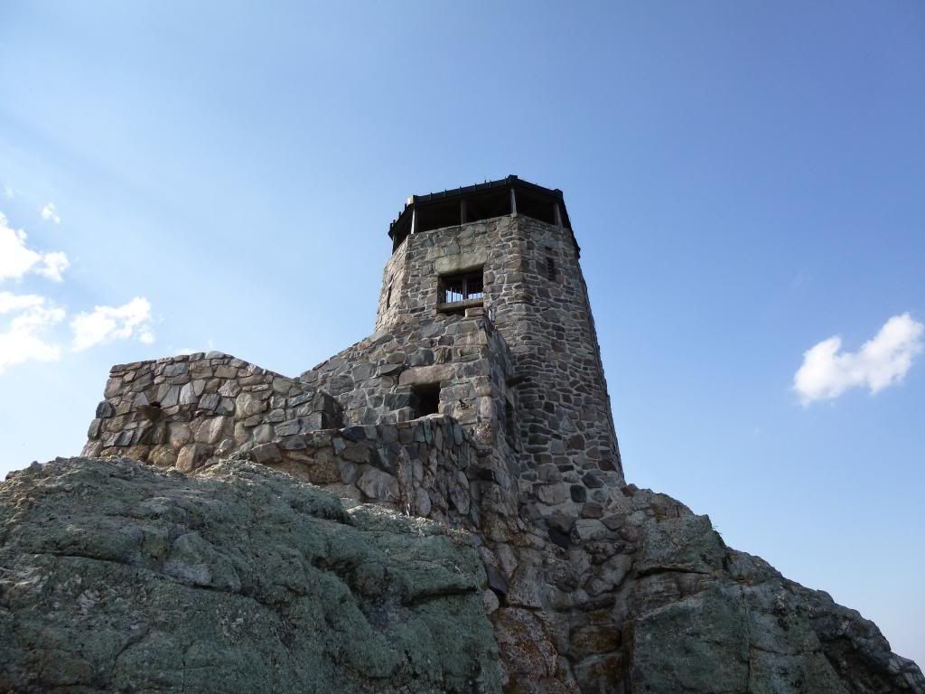
feel of the fresh mountain air abroad and got a view of what our cabin
looked like from the outside during daylight.

Then we road into
Keystone for breakfast, and then back to the cabin for a little bike
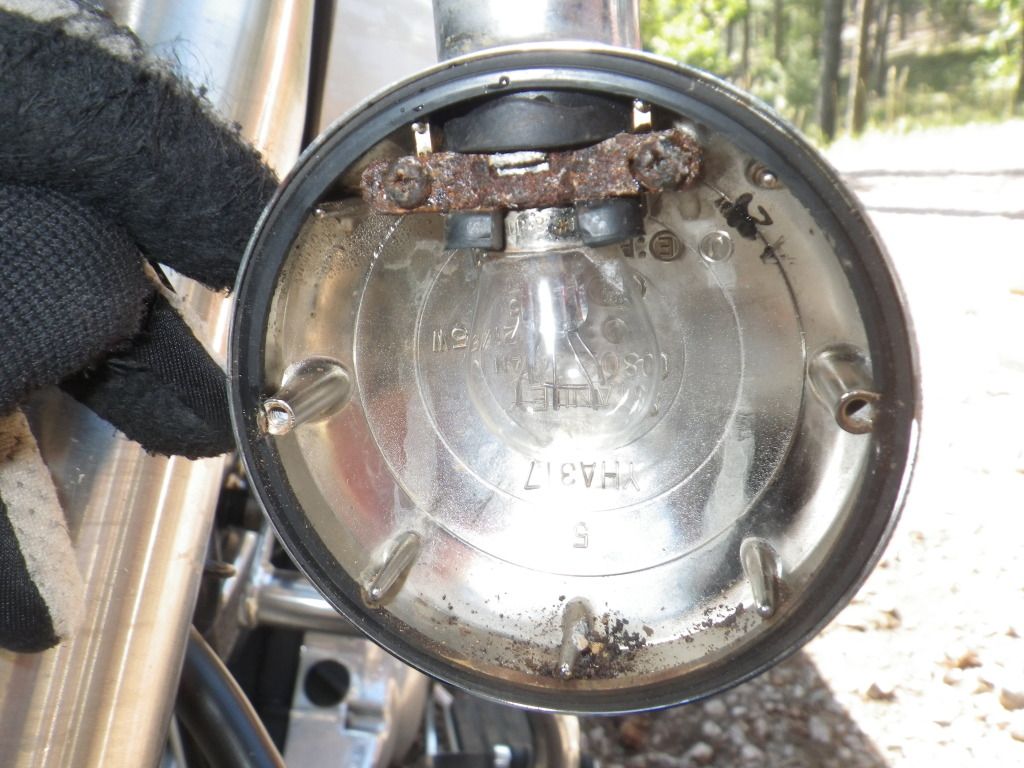
maintenance. Gary had noticed the day before that one of my front marker
lights was not working. So I removed the lenses only to find that the bulb
was welded in the socket from rust and corrosion.
So we located the
nearest Wal-Mart outlet in Rabid City and configured the
GPS to take us there. I picked up a new bulb, PB Blaster and a fuse for my
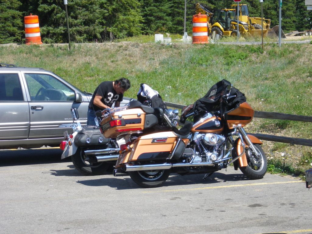
GPS power cable. Afterwards Gary wanted to wash his motorcycle so we found
the nearest carwash and gave the bikes a bath.
We still had some time
to kill so we rode over to the Rapid City Harley Dealership and drooled over
some nice rides. Then we rode over to a Cabela’s Outlet and shopped around.
A couple of hours later
we were back to the cabin. After performing delicate surgery for 30 minutes
trying the get the bad bulb out of the socket without destroying it, I
finally succeeded in getting the old bulb out and the new bulb installed and
working. Next I installed a new fuse for the GPS cable. All was good with
the bike again. Working on a motorcycle is not what I really wanted to do on
vacation but at least these were minor issues and were easily fixed.
We then headed back to Keystone for
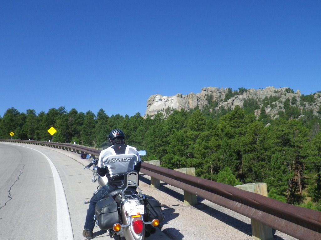
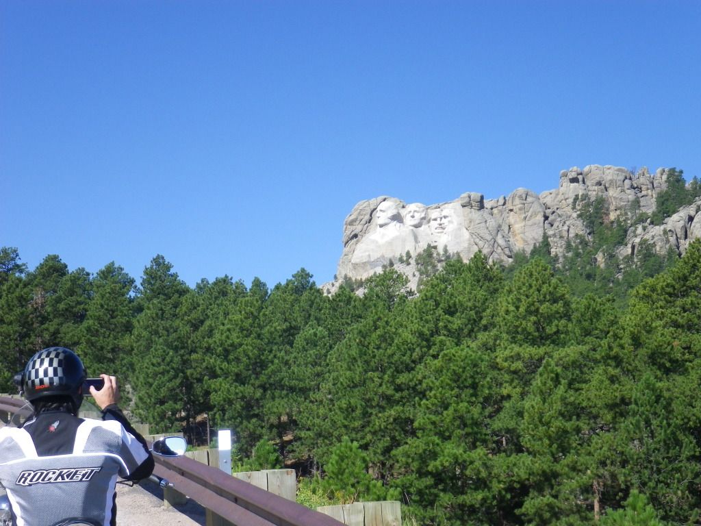
lunch. After lunch I wanted to ride up the road just so I would know where
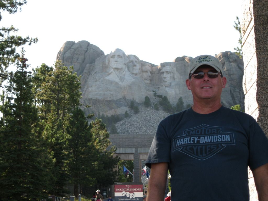
Mt. Rushmore was and how to get there, it wasn’t hard, only two or three
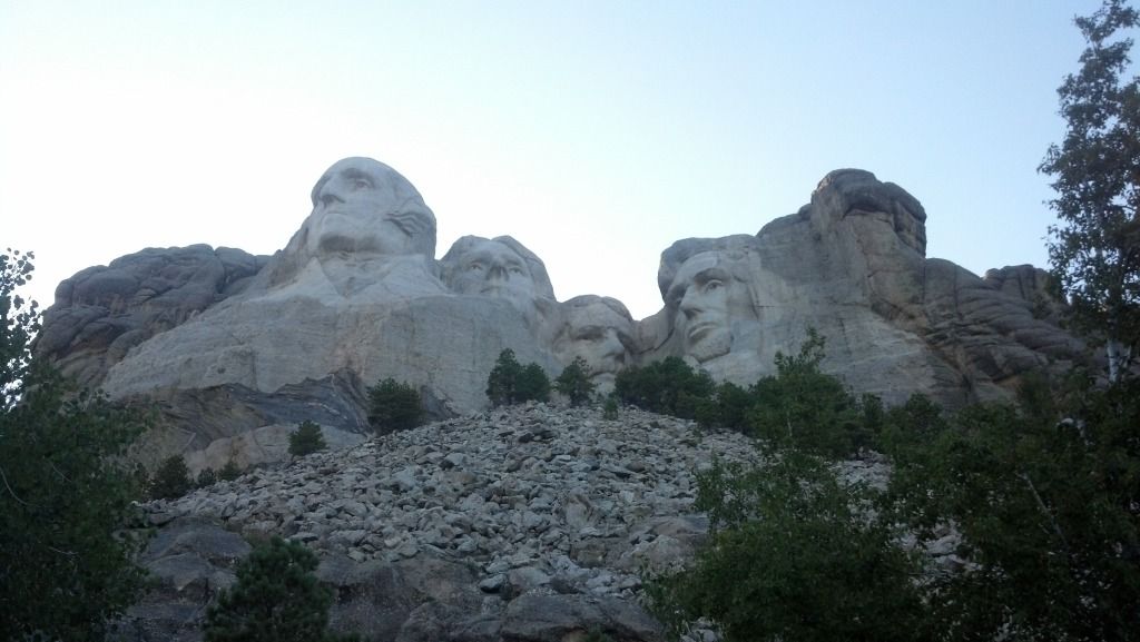
miles up the road. Just before getting there we rounded a corner of the road
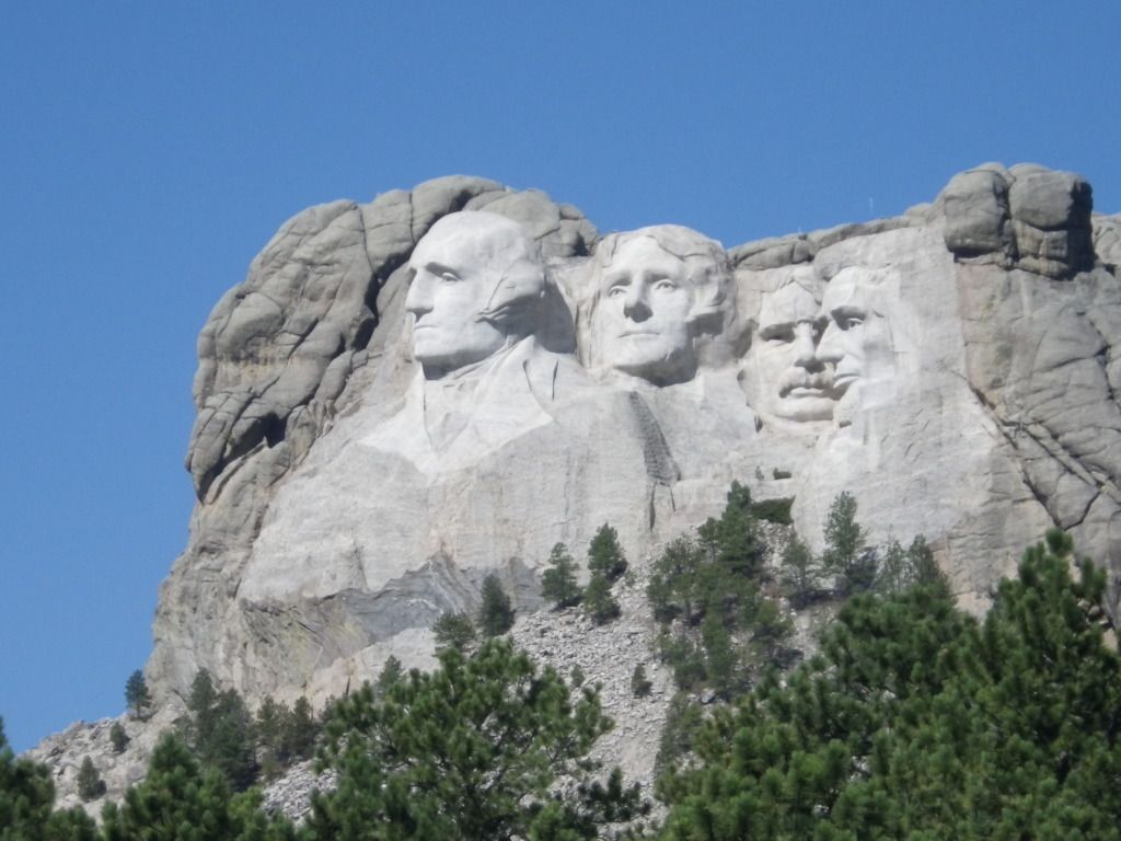
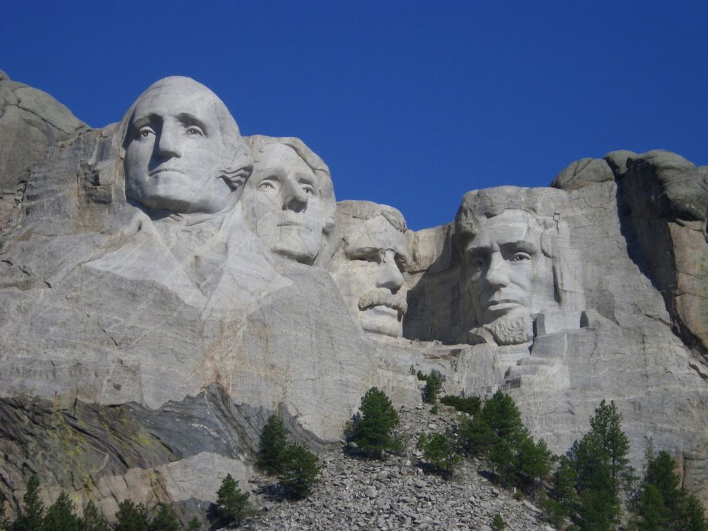
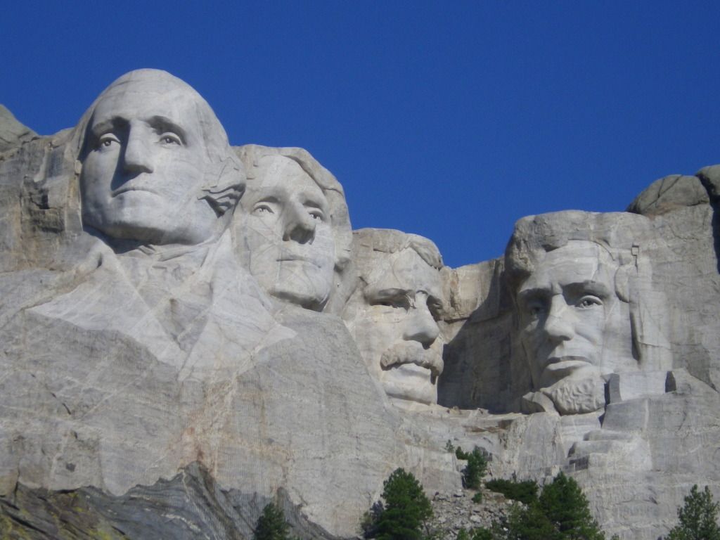
and there it was in the distance in all of its glory.

We continued to ride up to the entrance just to verify
how to get to it. I didn't want to go inside just yet because it was still a
little early in the day. I wanted to go during the evening hours to watch
the night ceremony and experience it being lit up at night with the lights.
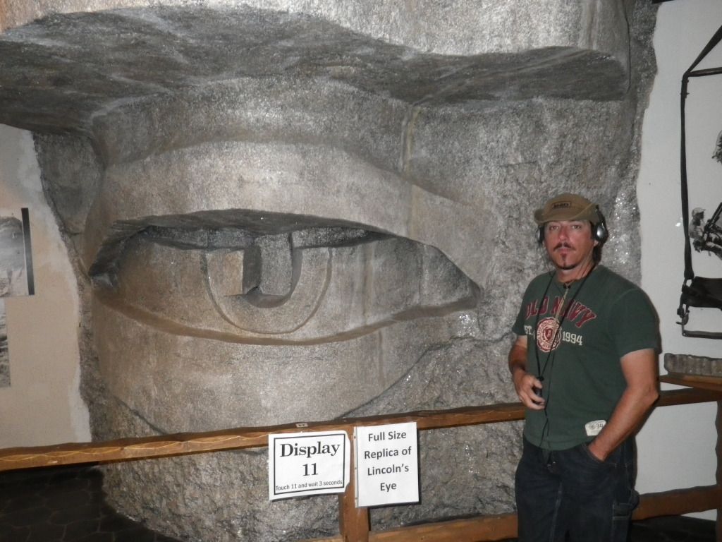
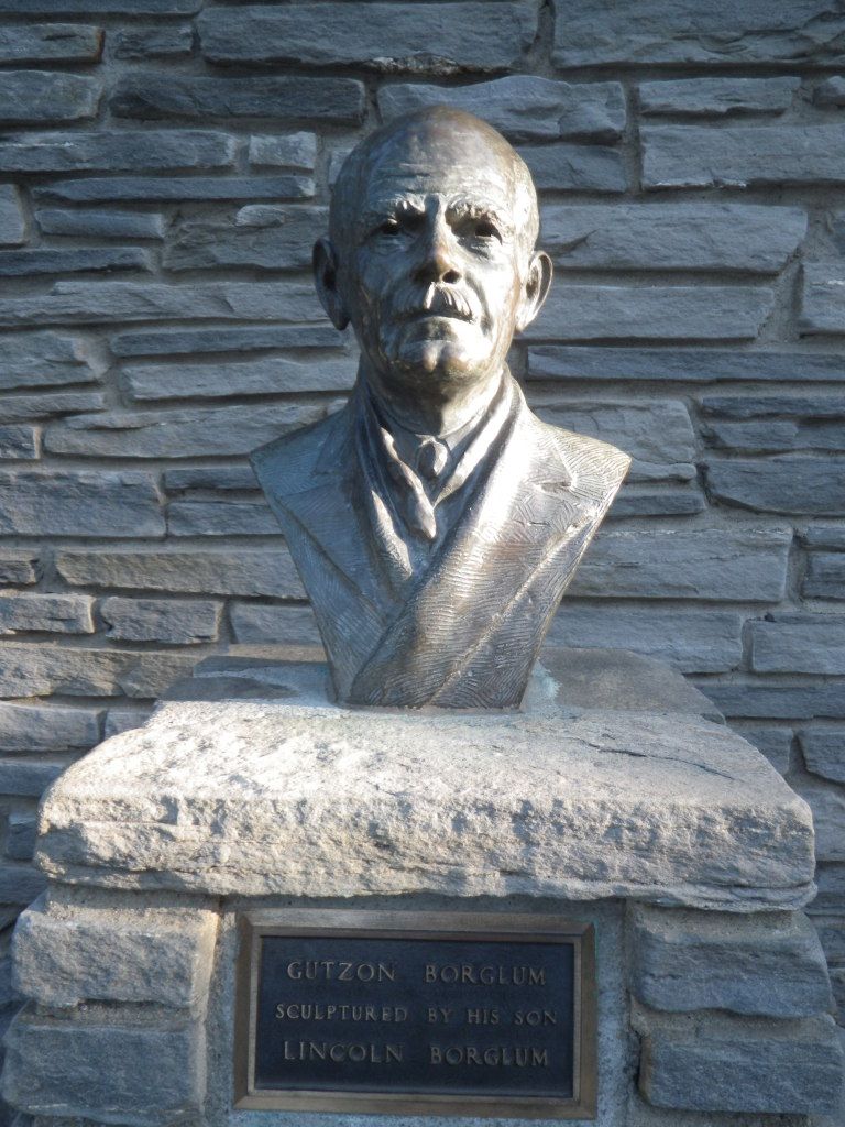
So we rode back into Keystone and visited the
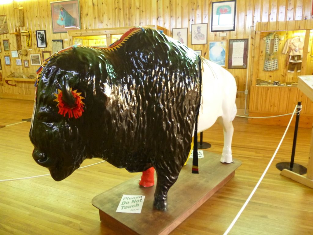
Rushmore
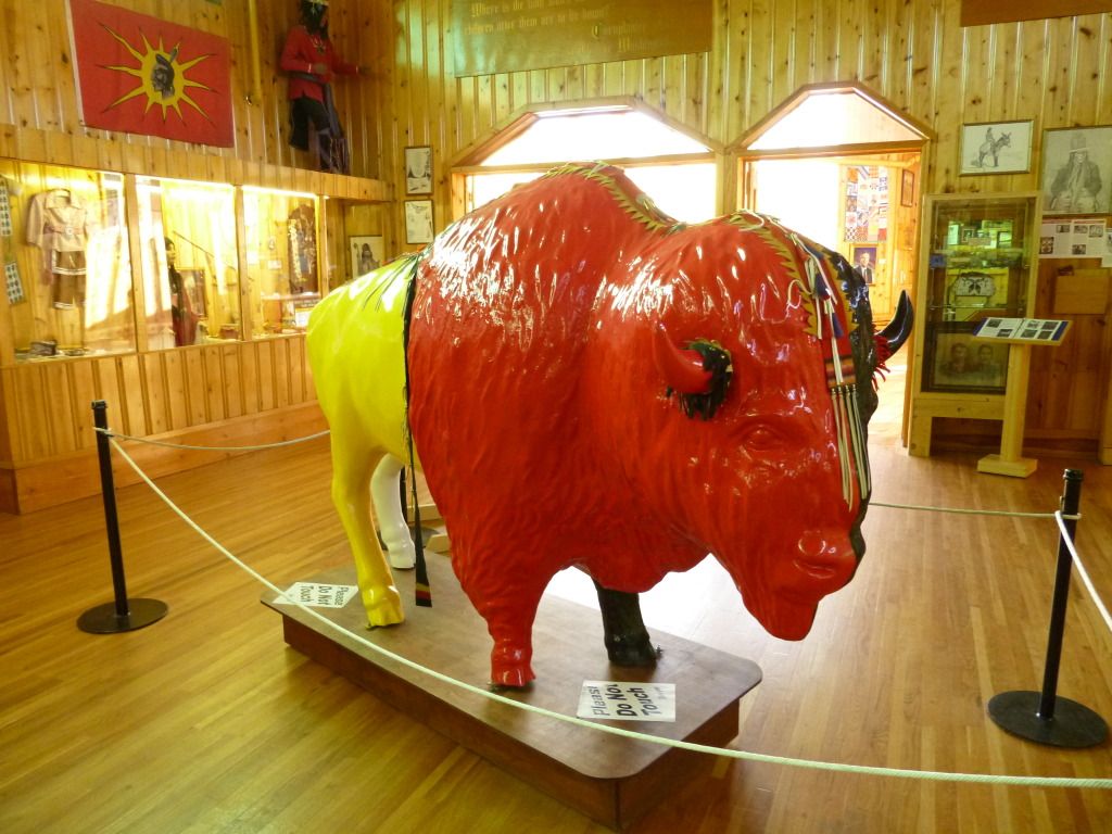
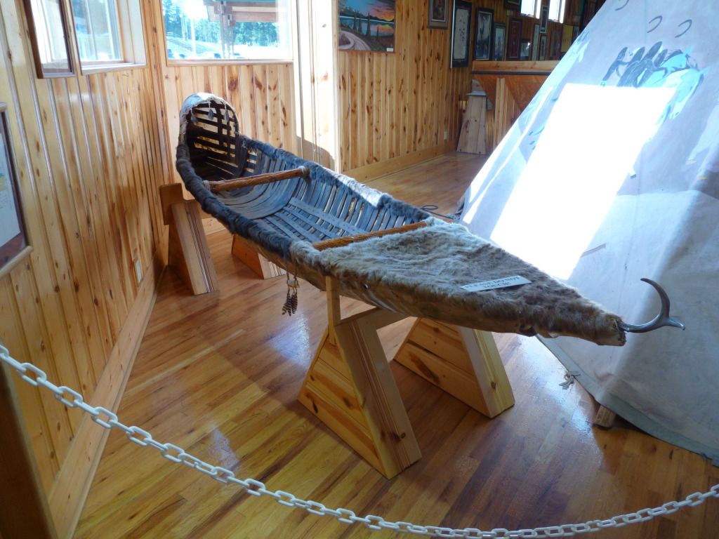
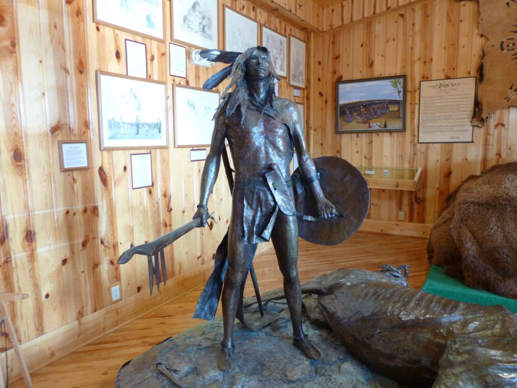
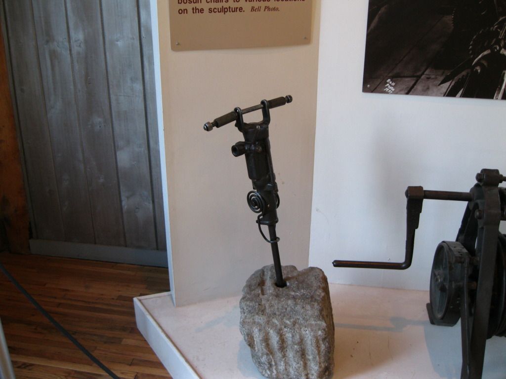
Borglum Story Museum. If you want to know about the artist behind Rushmore
(Gutzon Borglum), this is a good place to visit. It has an audio tour, a
short film and a museum that displays many pieces of Borglum's work and
tools and techniques of the trade during the construction of Mt. Rushmore.
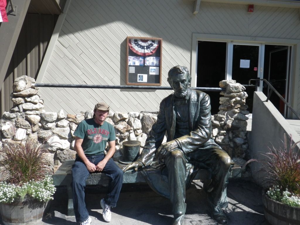
The first thing we noticed when we pulled into the parking lot was a
replica statue of the "Sitting Lincoln" in front of the building. You simply
can't resist getting a picture setting with him.

Once inside we bought a ticket and
proceeded through the museum. With a set of headphones on our heads, looking
as cool as Lil Wayne wearing his $1 Million dollar Beats only not quite as
much bling, we walked through the museum listening to the audio snippet for
each display.
Then we proceeded into a theater to watch
the short film (30 minutes or so) about the history and the players
of Mt. Rushmore. After the film we hung
up our headphones and proceeded into a few more rooms filled with more
artifacts created by Borglum. When we were finished looking around we
followed exit signs that conveniently lead us out of the museum into a well
stocked gift shop enticing us to spend more money for souvenirs.
After we get out of the museum we ride
back up to Mt. Rushmore so we can relate our new found knowledge to the
actual monument. But not without one more stop for another roadside picture
before entering.
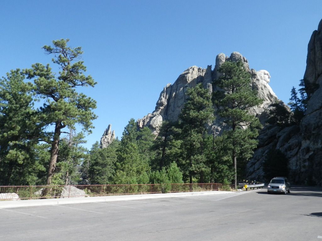
Oh, if you continue
west, past the entrance, you come to an area where you can see Washington in
a solo profile. Cool.
We pay our parking fee (although
admission is free) and find a parking space very close to the entrance (lucky
us). Once at the gate we get our obligatory mug shot with the
ex-presidents (can you name them?)
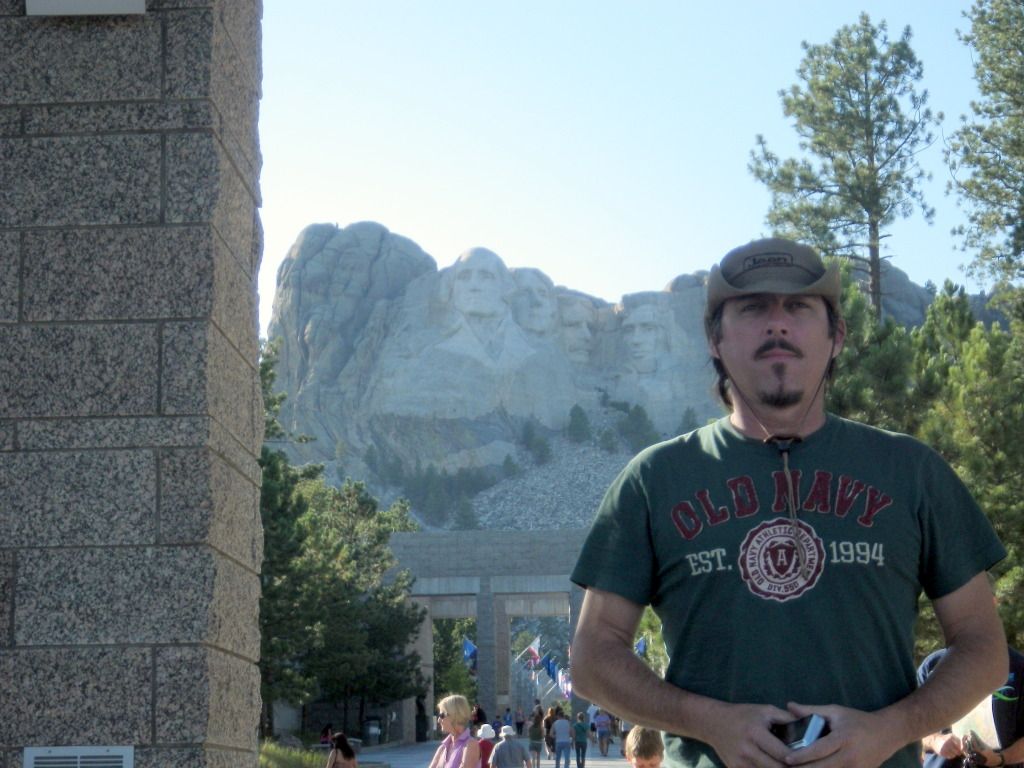
Then we proceed inside and check out the
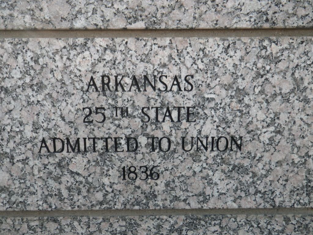
sights. Here’s a shout out to our home state.
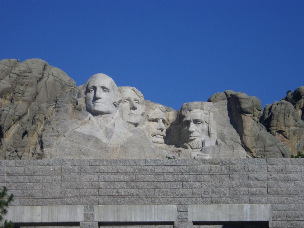
More pictures of the Monument.


After awing over the sculpture we hike along
the Presidential Trail to get a closer look from the base of the mountain
carving. Hint: If you walk the trail clockwise you don’t have
to climb near as many stairs (mostly downhill).
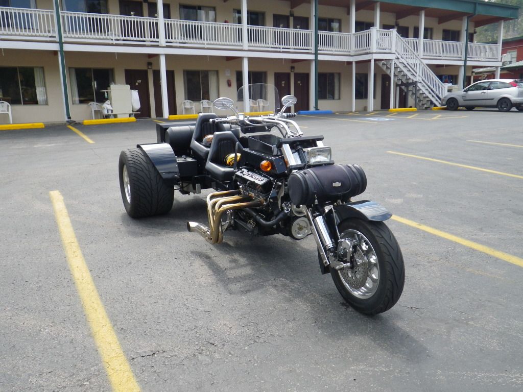
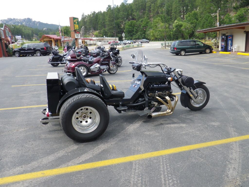
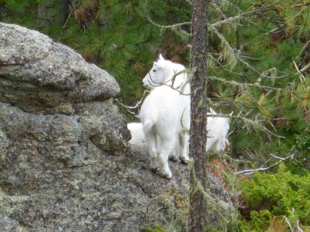
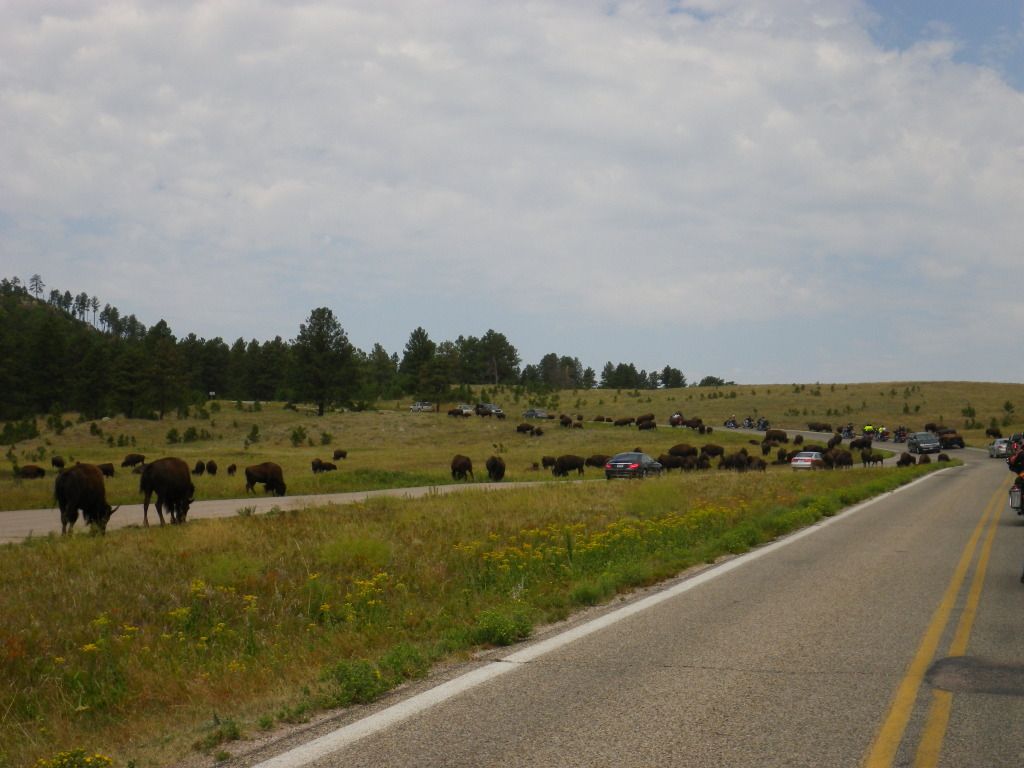
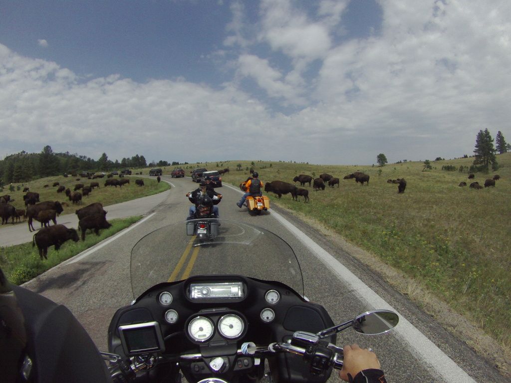
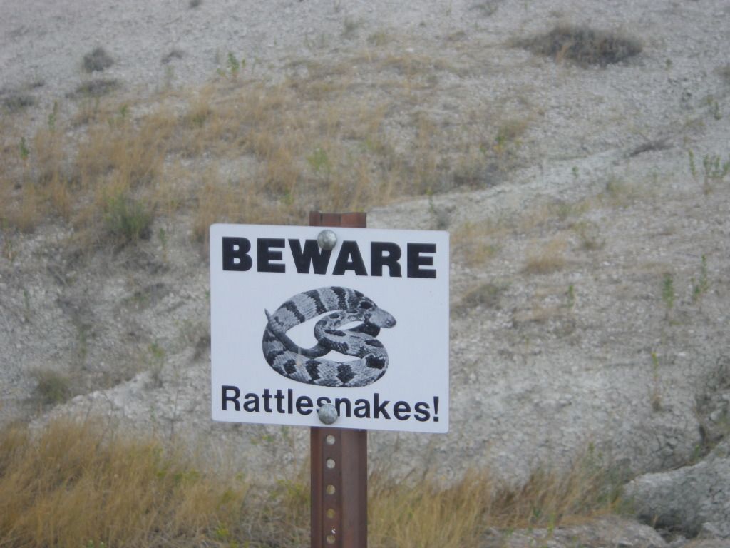
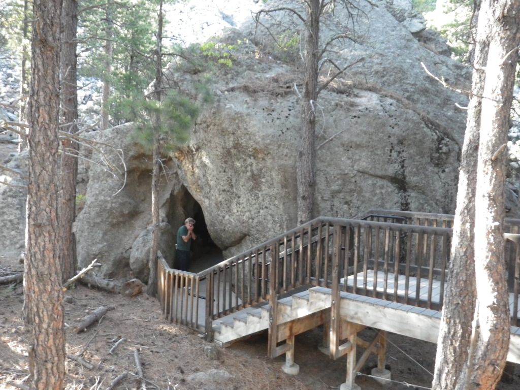
If you hang around the Black Hills long
enough you’ll see a lot of these.

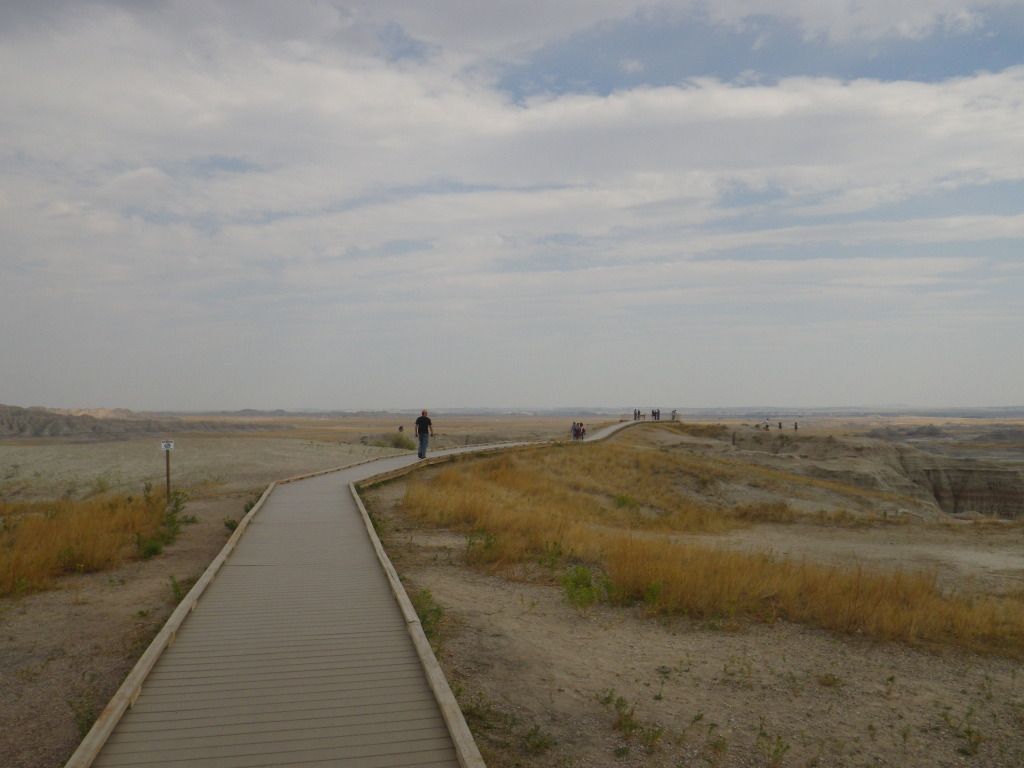
Continuing our walk around the Presidential Trail.


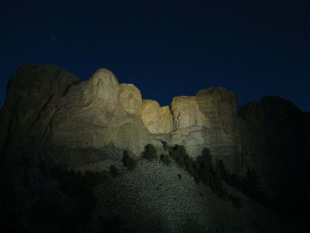
The evening ceremony was very touching,
almost brought tears to my eyes.
After the ceremony we
leave the monument and ride back into Keystone for a little more relaxing.
Our
Rout for Day 3 (62 miles)
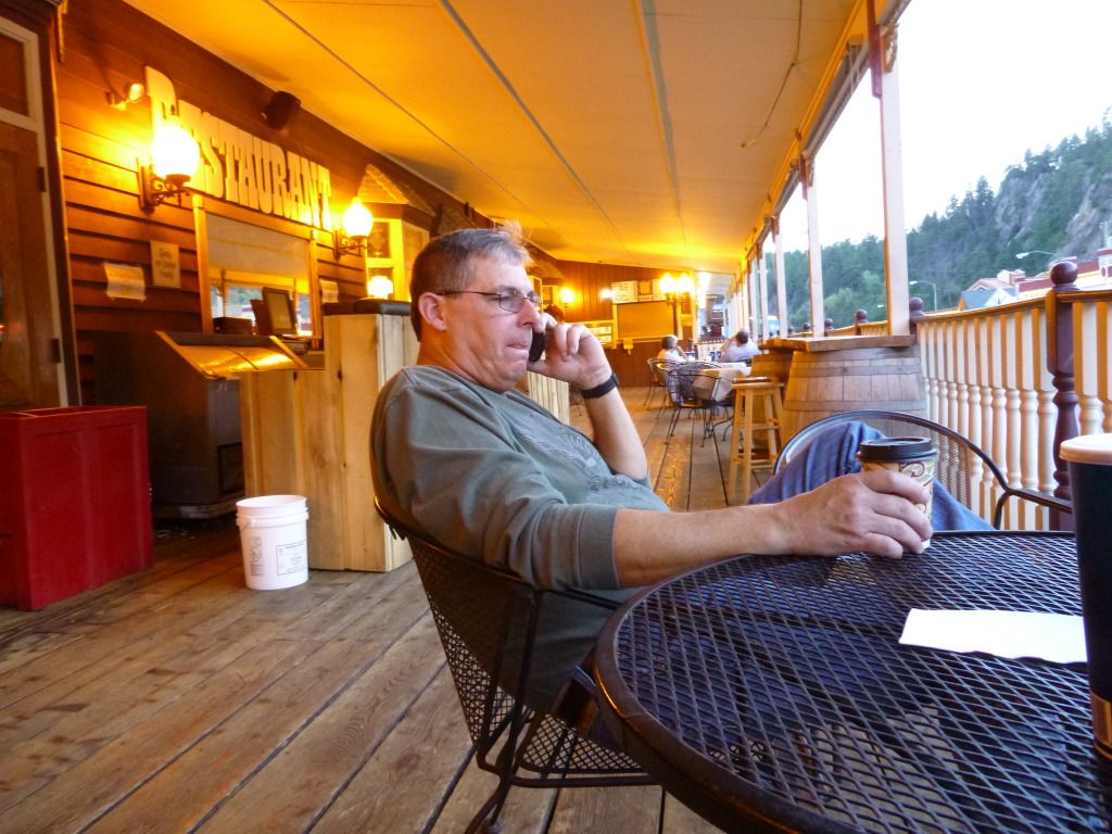
As we’re sitting in
Keystone with a cold drink reminiscing the day, checking e-mail and
reviewing pictures we had taken, I was thinking to my self “wow, what a
great day”. Then out of the blue, BAM!!!, I get this deep sharp pain
in the center of my back. I immediately look behind me thinking someone had
stabbed me in the back. But that wasn’t the case and I realized that the
pain was strictly internal. I asked Gary if he knew what a kidney stone felt
like and he started explaining his experience with them. Before he finishes
describing it I interrupted him and said “I think I have one…I’ve gotta go.
See ya at the cabin”. I get out of my chair and walked quickly yet very
awkwardly back to the motorcycle, crawled onto it and didn’t waist any time
getting back to the cabin. Luckily the cabin was only a couple of miles up
the road. And just so you know, riding a motorcycle while passing a kidney
stone is not recommended.
Back at the cabin we
refine my diagnosis and feel assured that I do have a kidney stone. Using my
phone I locate the nearest hospital and Gary called them to se if they could
help me if needed. The nearest hospital was in
Rapid City which was 18 miles
away. Of course I would have to ride with Gary on the back of a motorcycle
to get there, and that simply wasn’t very appealing. By this time I could
tell that the stone had already moved some so I decided to hold off on the
hospital. Gary was getting tired watching me agonize over the pain so he
laid down in his bed, with his boots on and ready to ride, and told me to
wake him if needed. With the ordeal of this pain I just couldn’t help
feeling somewhat bummed out, this is an obstacle that can ruin a vacation.
The rest of the night was pretty much a
blur. I had already vomited everything that I had eaten that day. But one
thing I can remember was that every time the stone would move I would get
out of bed, pray for God to take the pain away, pace back and forth on the
front porch, continue to vomit even though I had nothing left in my stomach,
lie back down and repeat every 15 to 20 minutes. The porch rail outside the
front door became my best friend for the night. The last time I remember
looking at the clock it showed 3:30 AM. Shortly after that the pain had
resided enough so that I could lie still and simply passed out from
exhaustion.
DAY 4
Not surprisingly, as if
I were a teenager once again, I wake up about 10:00 this morning. Amazingly, and to my surprise, I didn’t feel any pain (Thank
you God). Although still feeling sluggish after sleeping in so late I
crawl out of bed and hit the shower. After I get out of the shower my phone
alerts me that it received a series of text messages. As I’m reading the
messages I blatantly think out loud, “You’ve got to be kidding me!”
Gary turns to me and asked “What’s
wrong?” The messages are from my supervisor at work asking me where the
nearest airport is to me. My work wants to fly me back home to work on a
system they’re having trouble with. Then once I get it fixed they’ll fly me
back so I can finish my vacation, which means I’ll get back into Keystone
just in time for us to ride the motorcycles back home. I wasn’t happy.
After the night I has just went through,
I wouldn’t have though things could have gotten any worse, boy was I wrong.
All I wanted to do at the moment was eat some food, even though I was a
little hesitant to eat anything, I knew I needed to eat. So I suggested that
we go eat before I call work. As we were warming up the bikes we noticed
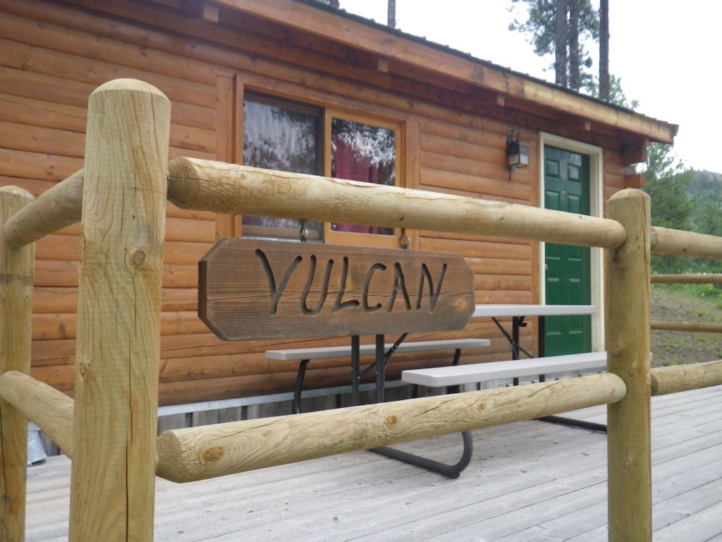
that we were staying in Spoc’s cabin.
I wonder if Vulcan’s have problems with
kidney stones?
We road into Keystone
for breakfast but it was too late in the day to get breakfast. Nothing on
the lunch menu really enticed me so I settled on a grill cheese sandwich.
This was really starting out to be a bad day.
After eating, I
contacted my boss and explained my situation and he explained his. After
several minutes of conversation explaining what needed to be done to resolve
the issue, he was convinced that he could get the job done with the
personnel he had on site. Whew, catastrophe avoided. And I started breathing
a little easier.
Our goal for today was
to see Devil’s Tower and Sturgis. Even though it was late in the morning we
knew we had time to make the trip. Although it would be dark before we got
back to the cabin. So off to Devil’s Tower we go, but we’ll be “Finding
Nemo” on the way, we hope.
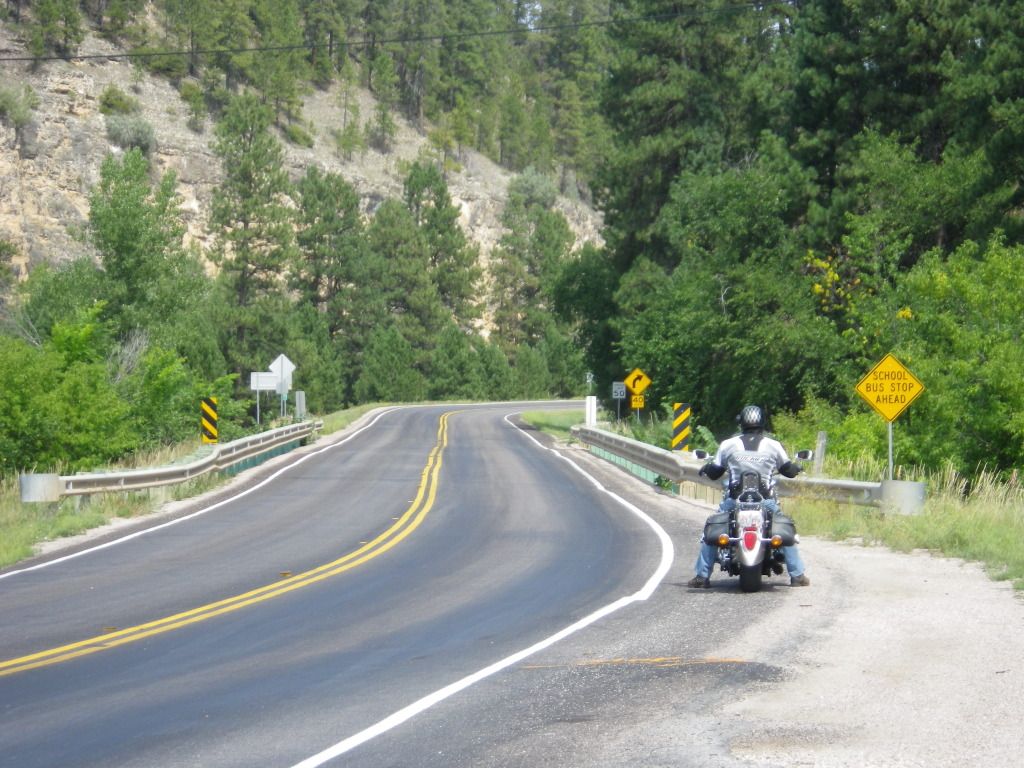
We road into Rapid City and found our
way onto Nemo Rd. which should lead us to Nemo. The road signs from Rapid
City had a different name but the GPS indicated we were going in the right
direction. Several miles up the road we see our first clue that we’re in
fact heading in the right direction.
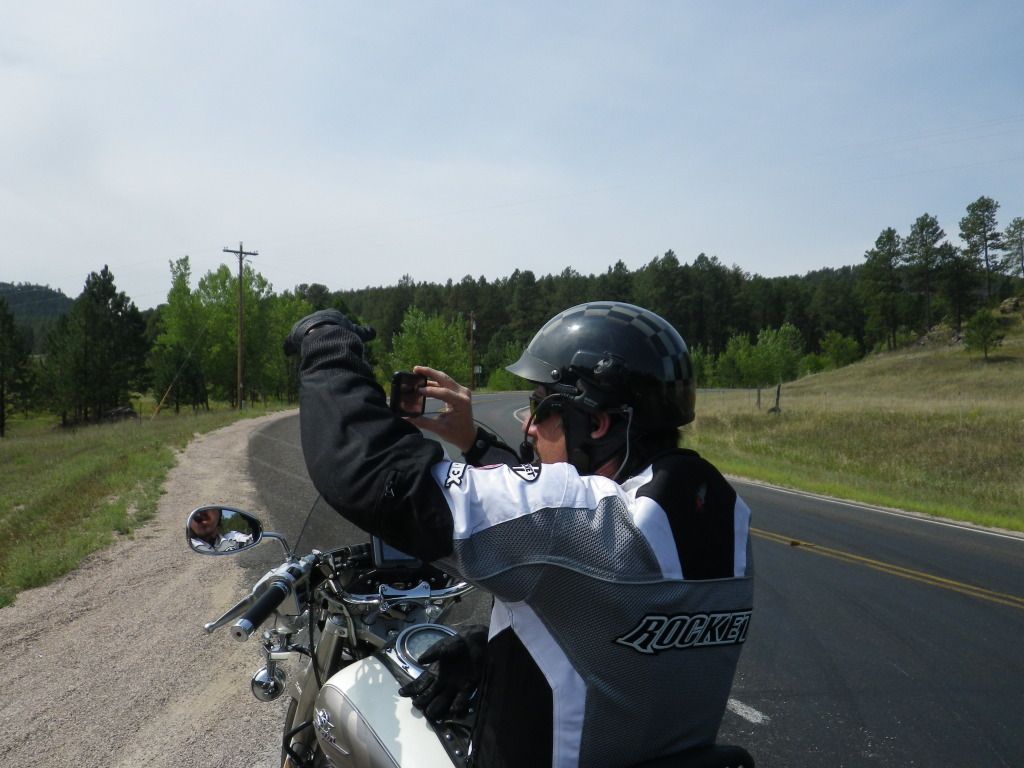

As we usually do, we turn our engines off
when taking a picture from the seat of the motorcycle so the vibrations
don’t affect the picture. But this time after the picture was taken, my
motorcycle wouldn’t start, just the dreadful click…click…click sound.
Yep…the battery was dead. Of course my immediate thought was “Oh crap,
what else is going to happen!” I survey the area looking for a hill to
push my motorcycle down to get it started but all I have is this.
Not much of a hill but it’ll have to do.
With me sitting in the seat pedaling like Fred Flintstone and Gary pushing
from behind we attempt to get it started. The first try was a fail, the
second try was a fail and the third time was a charm. It started.
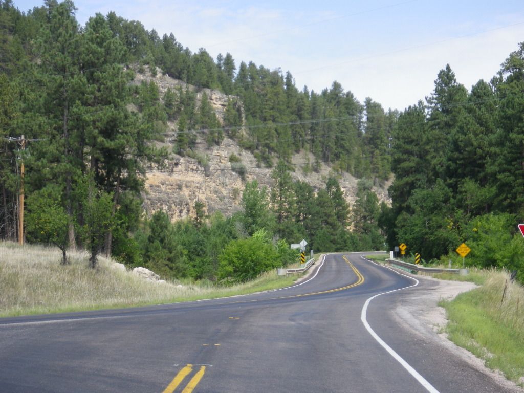
We continue our pursuit to finding Nemo and
the road is fantastic.

We come up on what appears to be some kind
of resort on the right. The name of the place has a precarious name. I have
no idea what folks do here but it’s not open to the public and you can only
enter by personal invite only. With a name like Twin Peaks, I’ll leave your
imaginations to yourselves.

We press on down the highway and soon
arrive at our first destination for the day. We found Nemo.

Of course we had to
stop and get a picture but I left the engine running on my motorcycle this
time. I snapped a picture of the town sign and sent it to my kids. Finding
Nemo is still one of their favorite movies. They got a kick out of it.
We continue down the highway enjoying
the great weather and scenery.
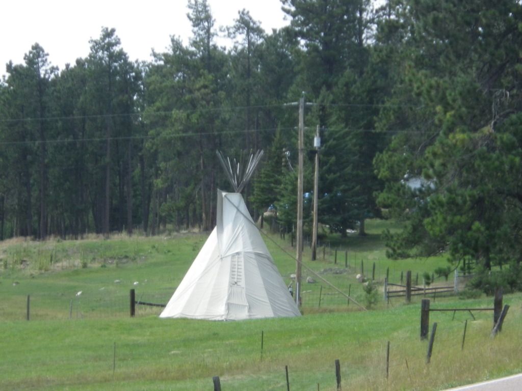
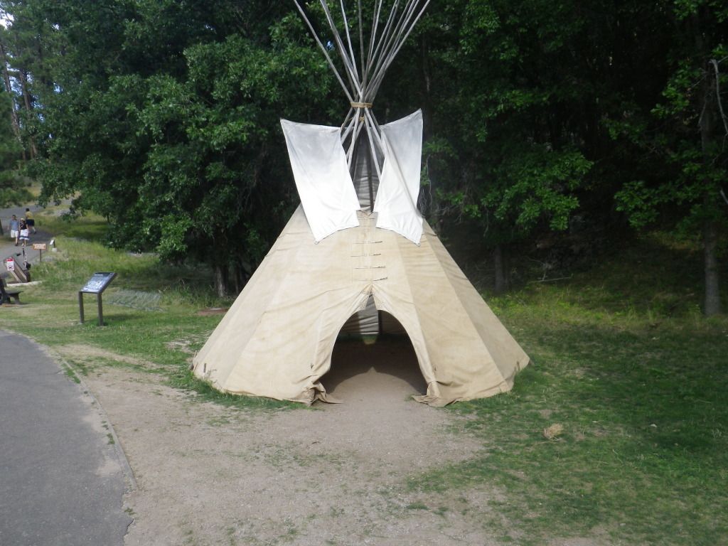
Moore TeePee's.
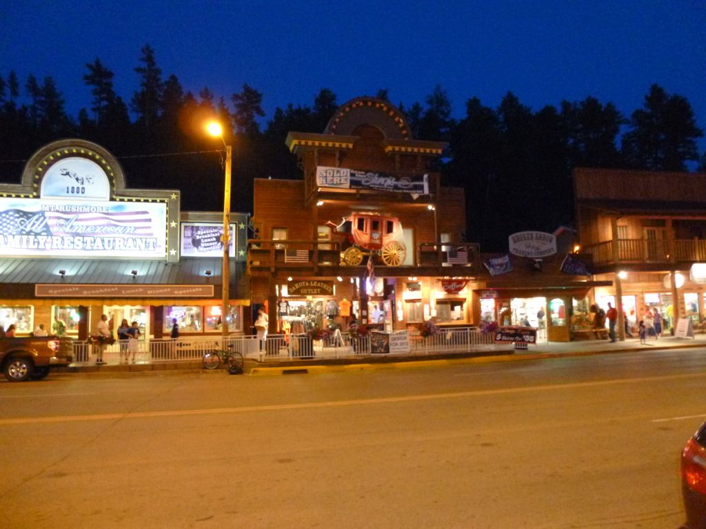
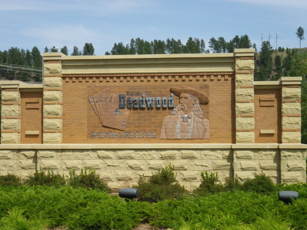
Next we ride into the town of Deadwood, the
resting place of Wild Bill Hickok.
We didn’t have time to visit Wild Bill’s
grave site.

From Deadwood, we head on to Spearfish and
found an Auto Zone outlet and purchased a new battery for my motorcycle,
they even charged it up for me. Then we hopped onto I-90 heading west until
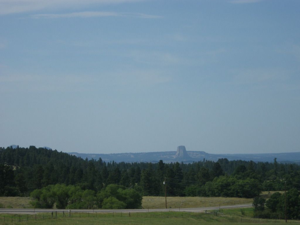
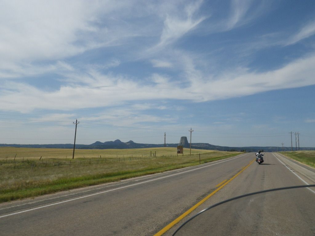
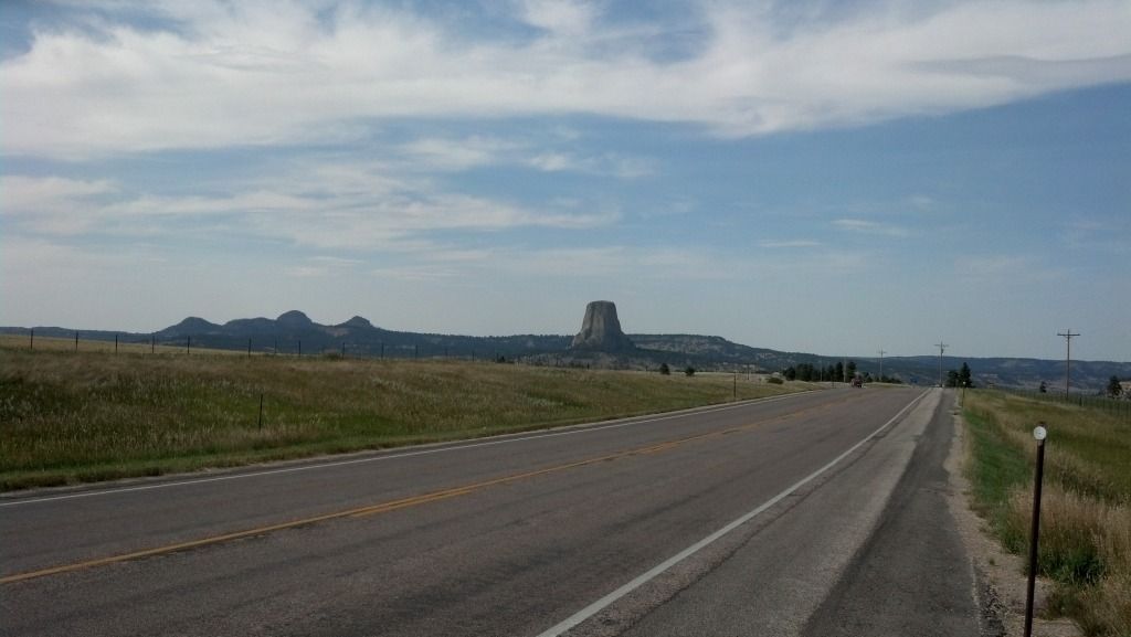
we got to the Devil’s Tower exit and then rode north. When I first saw
Devil’s Tower from a distance I got pretty excited. I’ve wanted to see it
since I saw the movie Close Encounter of the Third Kind.
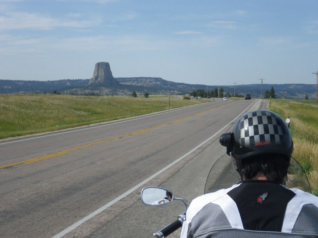
As I’m stopped on the side of the road here
to take a picture my camera breaks. The lens won’t open. This is a common
failure for point-and-shoot cameras with lenses that move in and out. I
fiddle with it a while but realize there’s no hope for it. Wow, so far it’s
one issue after another on this trip but I’m still having fun. I’ll just use
the camera on my phone until I can get another one.


We finally arrive in the parking lot at the
base of tower. The first thing we see is another Teepee.
We start hiking up the trail leading to the
base of the tower so we could get a closer look. I can honestly say that I
was in absolute awe while looking at this thing. It’s huge!
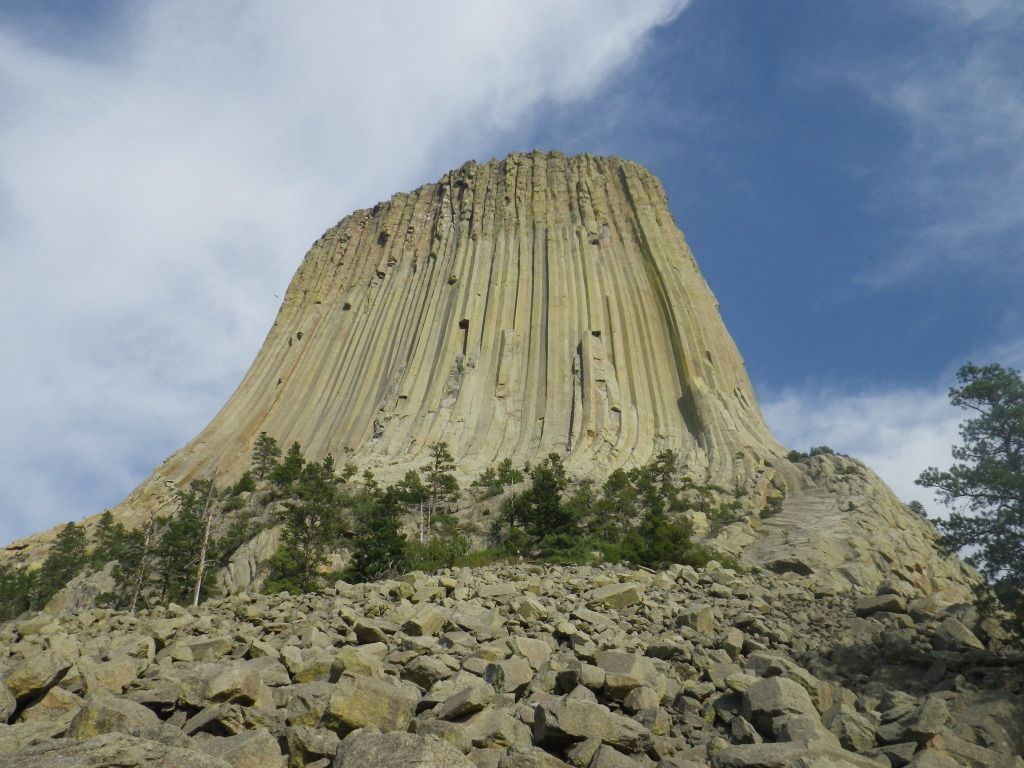
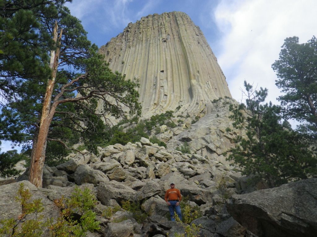

The view from the base of the tower.
Due to wanting to see this for so long, I
definitely felt a sense of accomplishment after visiting this place. One
last look, where’s the aliens?

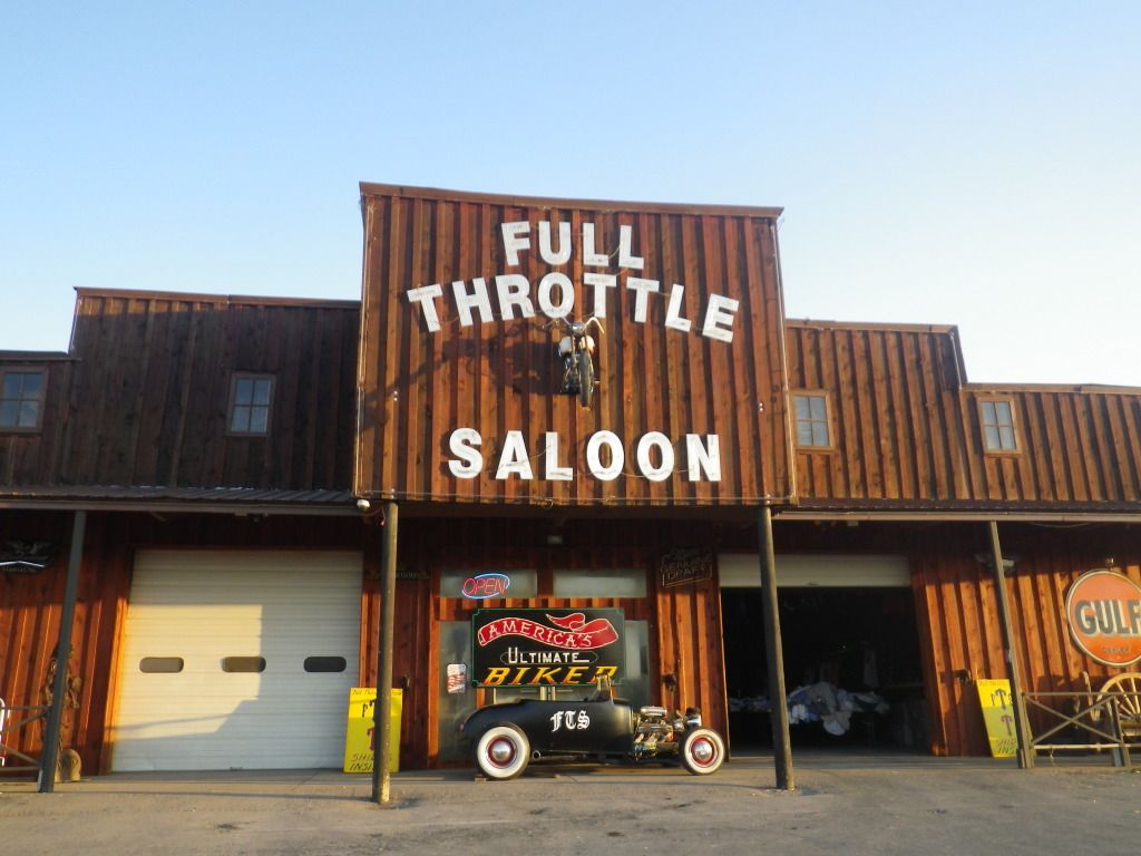
We bid farewell to Devil’s Tower and hit
the road once again. As per our friend Alan's request we stop in Sturgis to
visit The Full Throttle Saloon.

There were only about a dozen people there
so we didn’t have to fight a crowd.
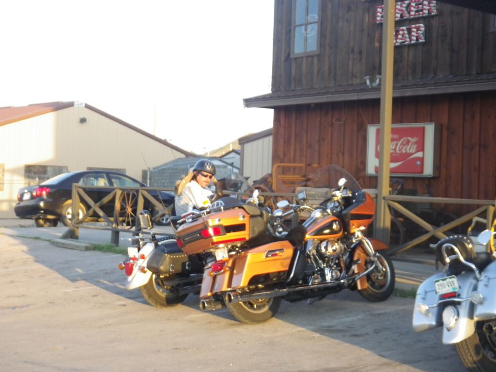
The owner Mike Ballard wasn’t there so we
left a message with the very pretty female bar tender to tell Mike our
friend Allen said hi. We got ourselves a cold drink and each bought a
souvenir, after all it is the world’s biggest biker bar.
We left Full Throttle Saloon and started
looking for a place to eat dinner. We ride upon this place called Rosco’s
Bar & Grill.
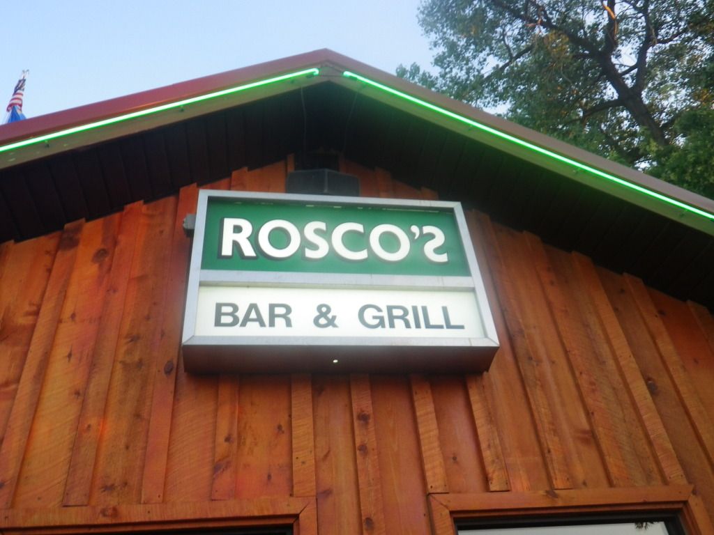
We both had a stake dinner that was very
satisfying. As you can tell from picture below I was savoring every bite.

There were some locals
eating out on the patio with us. It was interesting what they had to say
about the annual bike rally. They simply take their vacation during the
rally so they don’t have to deal with all the idiots. Most of the town
businesses in Sturgis at this time had already rolled up their sidewalks for
the year. But at least now I can say I’ve been to Sturgis.
After eating we ride back to the cabin
and reflect on the great day we had.
Our Route for Day 4 (290 miles)

DAY 5
We wake up to another day with great
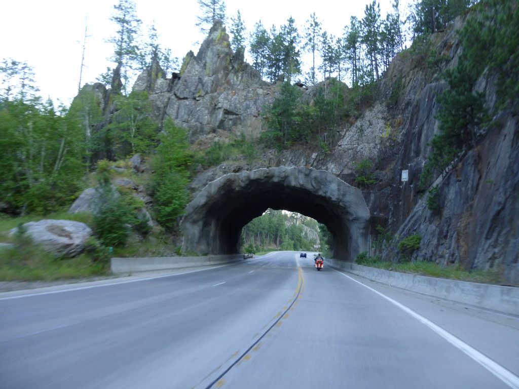
weather and anxious to ride. Once we get up and about we rode into Keystone
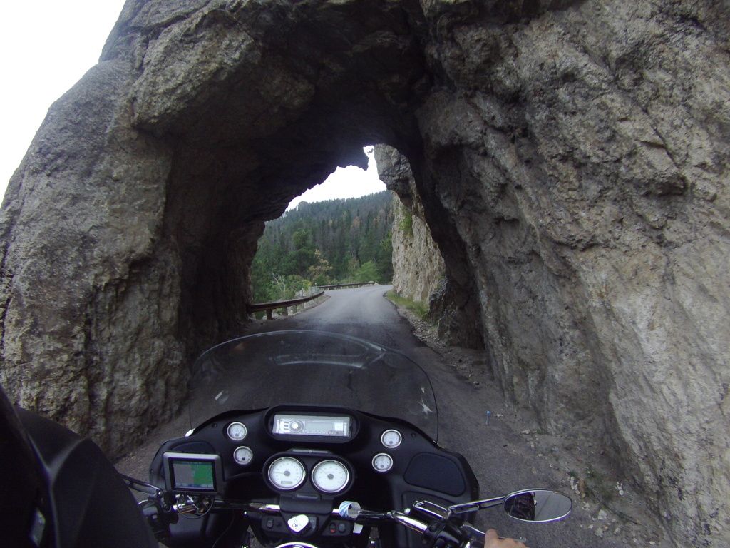
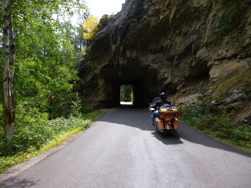
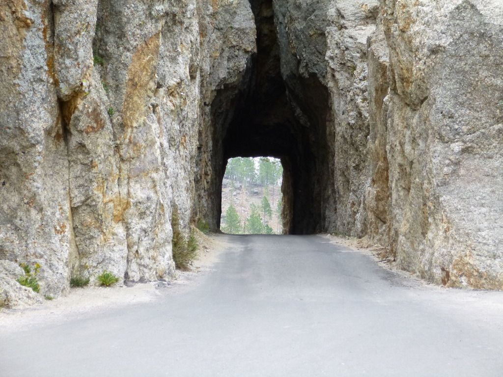
for breakfast. We got to ride through this tunnel every day getting to and
from Keystone. It was always a delight.
After eating breakfast
I ride back to Rushmore to get some pictures with the morning light (pictures
are best before 10:00 AM).
Gary rides back to the cabin to chance some settings on his video camera. I
meet back up with Gary at the cabin and we hit the road heading toward
Spearfish. My original itinerary had us riding Custer loop today but we
changed things up a little bit. We realized that our hike at Harney Peak
wouldn’t take quite a bit of time so we decided to ride our Custer loop ride
in the morning tomorrow before the hike. Today we wanted to ride Spearfish
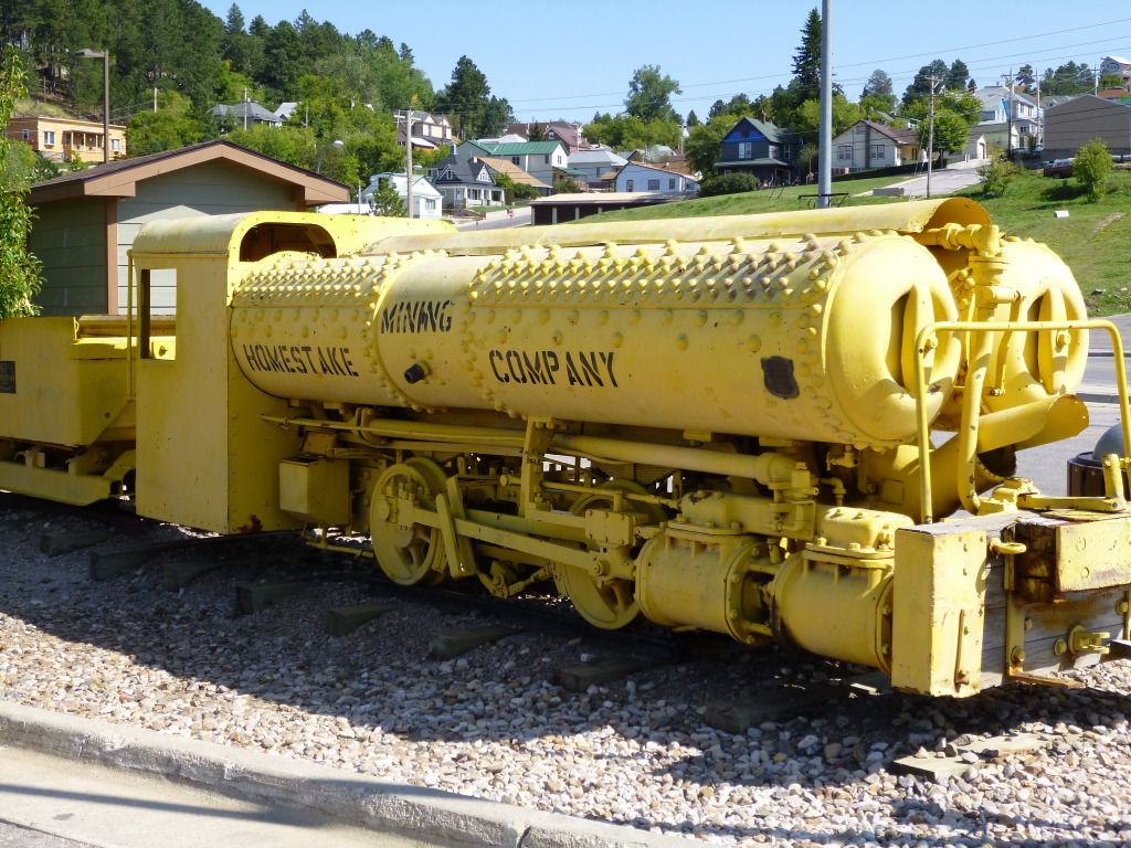
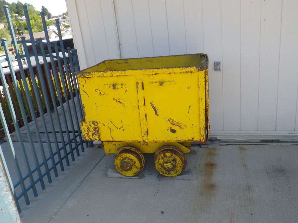
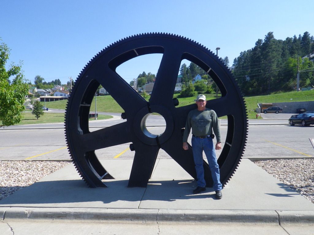
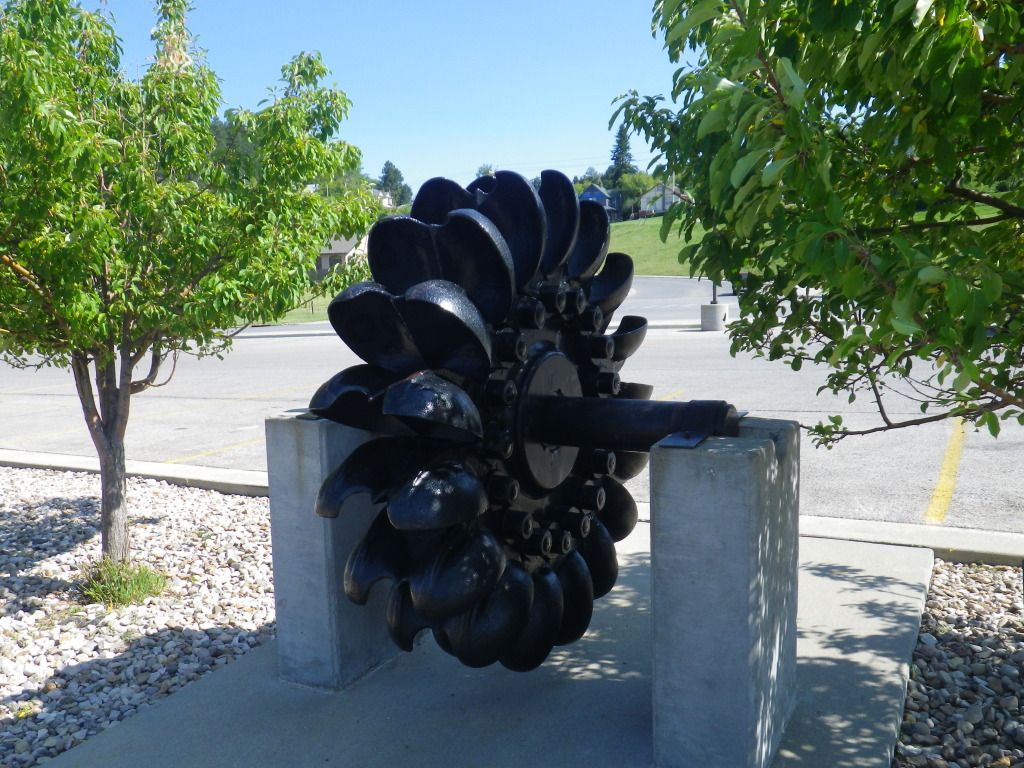
Canyon Rd. and check out the old gold mine in Leads. The first destination
for today is a Wal-Mart outlet in Spearfish so I can buy a new camera.
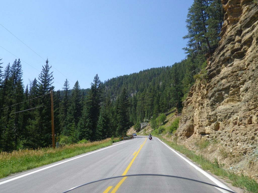
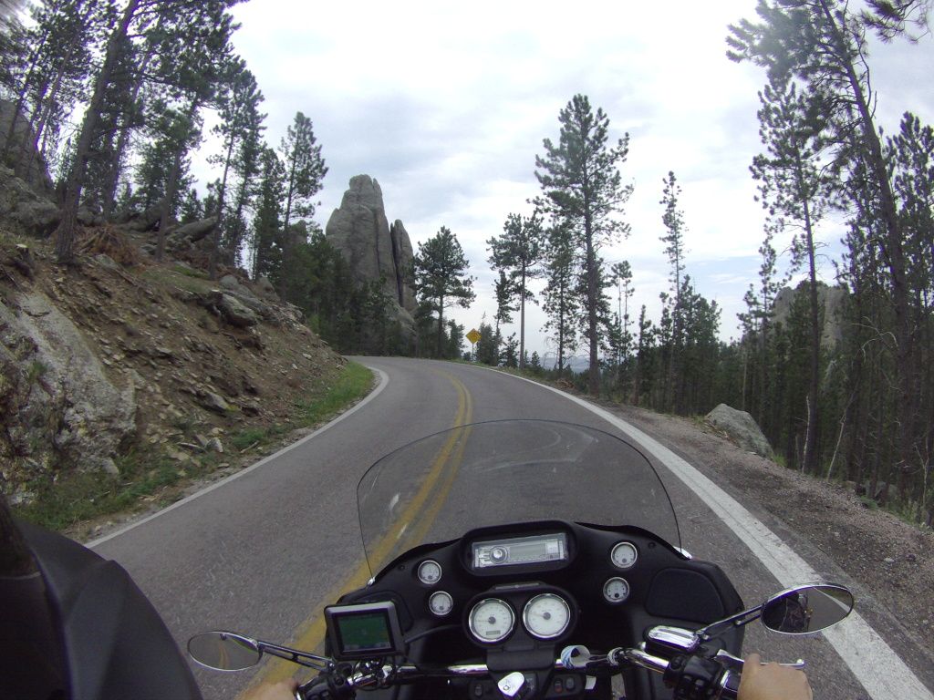
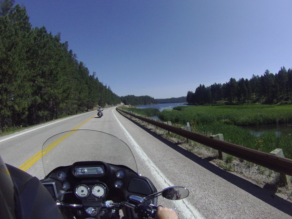
We rode a different route to Spearfish
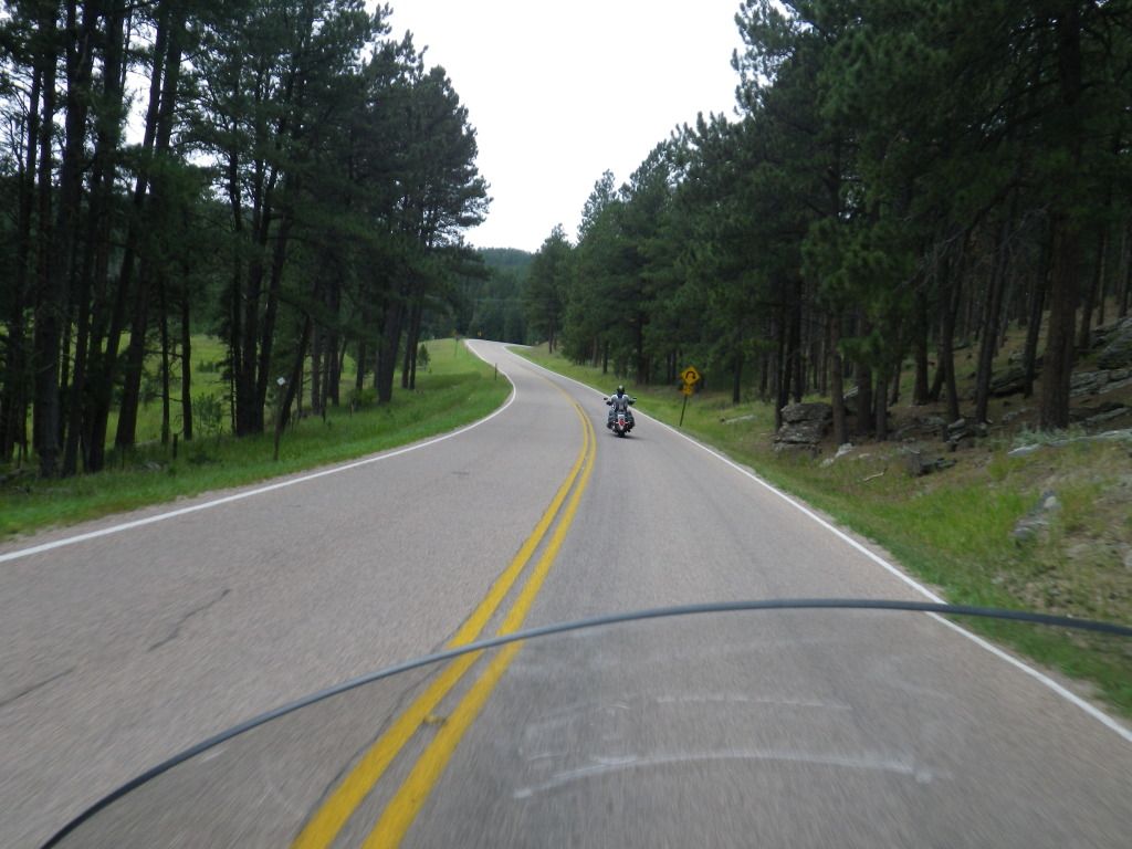
than we did yesterday and it proved to be an excellent road as well.
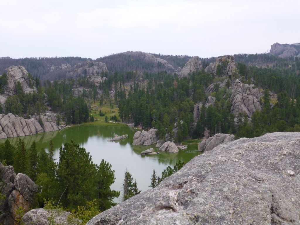
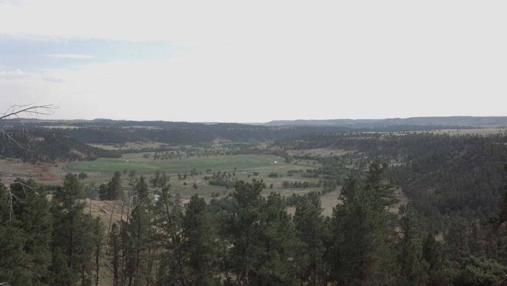
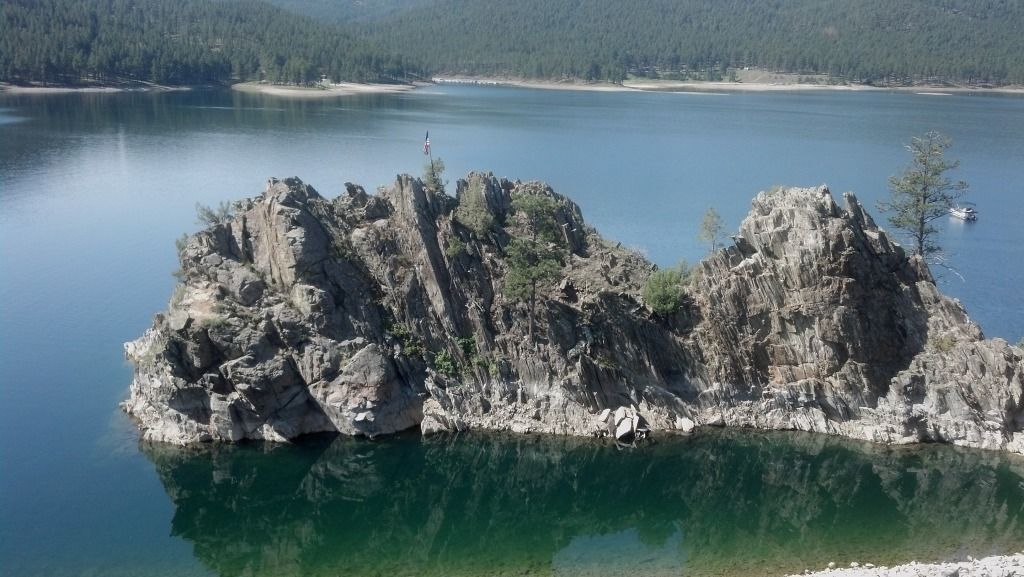
As we’re riding we come upon Pactola Lake
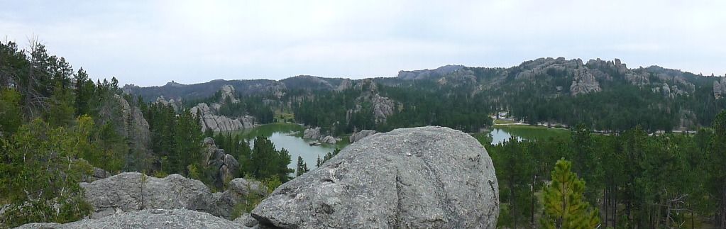
which is the largest reservoir in the Black Hills.

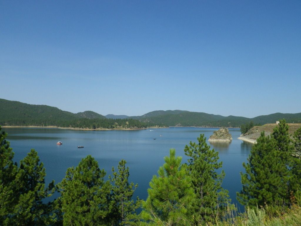
This is a neat little island just off the shore of the lake.
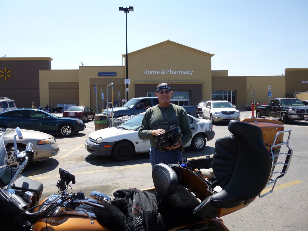
We continue to Spearfish, found the local Wal-Mart, and I bought a new
camera. Here’s the first picture I snapped with it. Front page material
right?
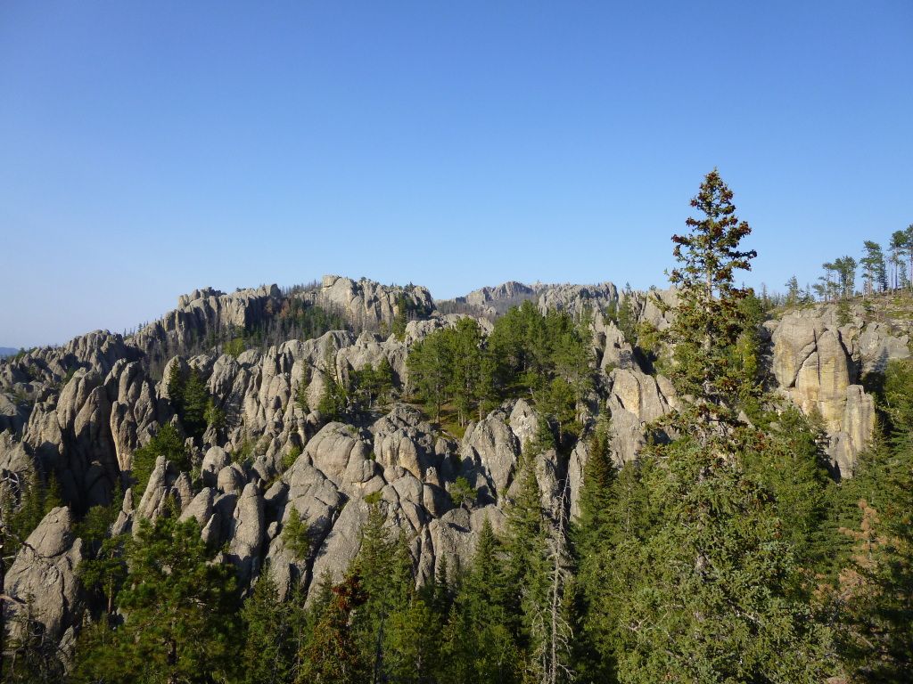
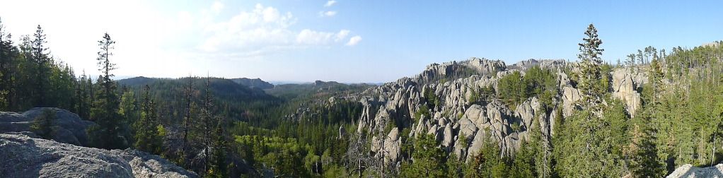
Then we rode Spearfish Canyon Rd which turn out to be a very good ride.