

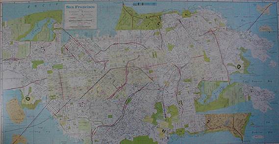
San
Francisco Street Map
[1997]
38" x 20"collaged map pieces
I've always liked map imagery: political boarders (colors), geologic (patternized gradation) & city street (line and color pattern). I was sort of giving it a playing card treatment... see how top right and bottom left [Bay Bridge & Candlestick Park] are equal, but opposite?